
Distance between  Narrung and
  Highcroft
697.91 mi Straight Distance
883.26 mi Driving Distance
22 hours 7 mins Estimated Driving Time
The straight distance between Narrung (South Australia) and Highcroft (Tasmania) is 697.91 mi, but the driving distance is 883.26 mi.
It takes 22 hours 7 mins to go from Narrung to Highcroft.
Driving directions from Narrung to Highcroft
Distance in kilometers
Straight distance: 1,122.94 km. Route distance: 1,421.17 km
Narrung, Australia
Latitude: -35.5184 // Longitude: 139.174
Photos of Narrung
 old building")


Narrung Weather

Forecast: Clear sky
Temperature: 15.7°
Humidity: 82%
Sun info not available
Highcroft, Australia
Latitude: -43.1387 // Longitude: 147.768
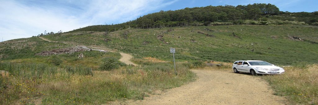
Photos of Highcroft


Highcroft Weather

Forecast: Overcast clouds
Temperature: 10.5°
Humidity: 69%
Sun info not available


