
Distance between  Narrogin and
  Reeves Plains
1,236.39 mi Straight Distance
1,620.84 mi Driving Distance
1 day 6 hours Estimated Driving Time
The straight distance between Narrogin (Western Australia) and Reeves Plains (South Australia) is 1,236.39 mi, but the driving distance is 1,620.84 mi.
It takes 1 day 6 hours to go from Narrogin to Reeves Plains.
Driving directions from Narrogin to Reeves Plains
Distance in kilometers
Straight distance: 1,989.34 km. Route distance: 2,607.94 km
Narrogin, Australia
Latitude: -32.9347 // Longitude: 117.176
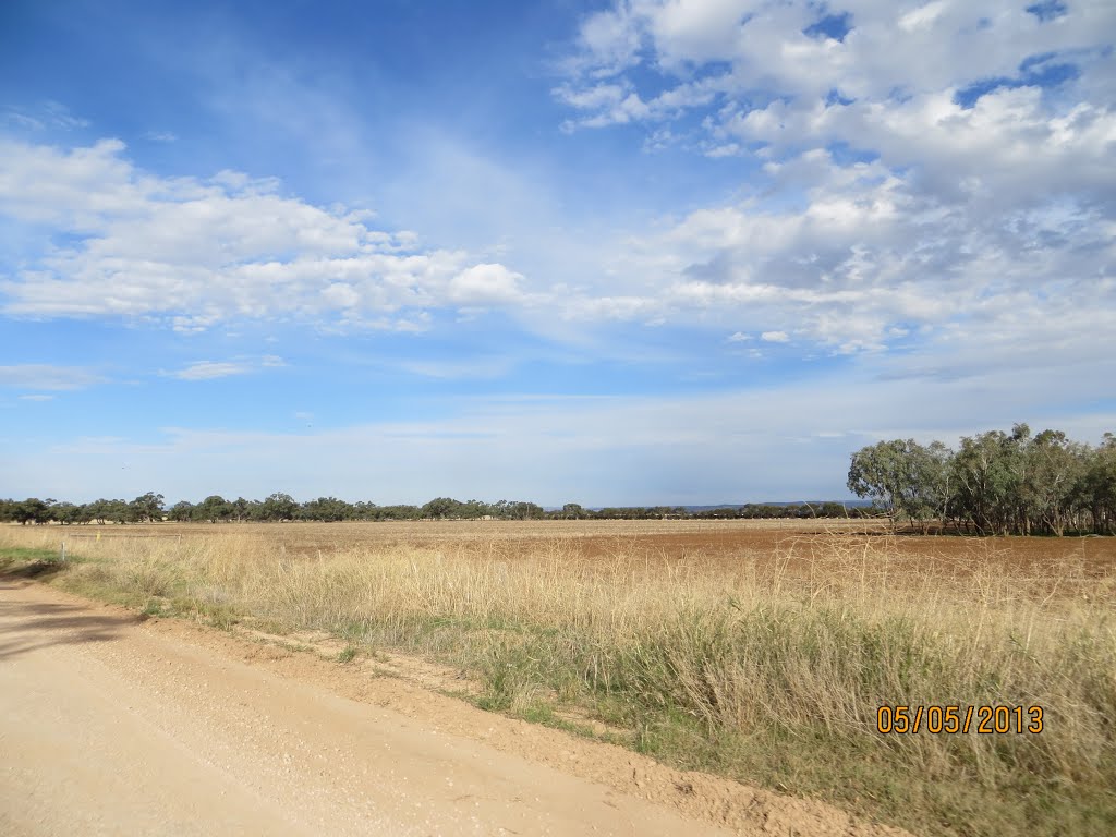
Photos of Narrogin


Narrogin Weather

Forecast: Overcast clouds
Temperature: 15.9°
Humidity: 61%
Current time: 01:32 PM
Sunrise: 06:06 AM
Sunset: 06:36 PM
Reeves Plains, Australia
Latitude: -34.5265 // Longitude: 138.648
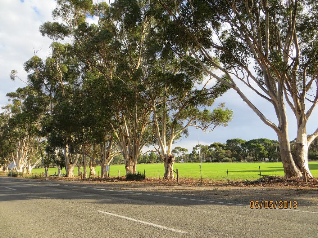
Photos of Reeves Plains


Reeves Plains Weather
Forecast: Overcast clouds
Temperature: 21.9°
Humidity: 48%
Current time: 04:02 PM
Sunrise: 07:09 AM
Sunset: 07:41 PM


