
Distance between  Mundrabilla and
  Attunga
1,329.83 mi Straight Distance
1,521.24 mi Driving Distance
1 day 5 hours Estimated Driving Time
The straight distance between Mundrabilla (Western Australia) and Attunga (New South Wales) is 1,329.83 mi, but the driving distance is 1,521.24 mi.
It takes 1 day 5 hours to go from Mundrabilla to Attunga.
Driving directions from Mundrabilla to Attunga
Distance in kilometers
Straight distance: 2,139.69 km. Route distance: 2,447.67 km
Mundrabilla, Australia
Latitude: -31.8184 // Longitude: 128.225
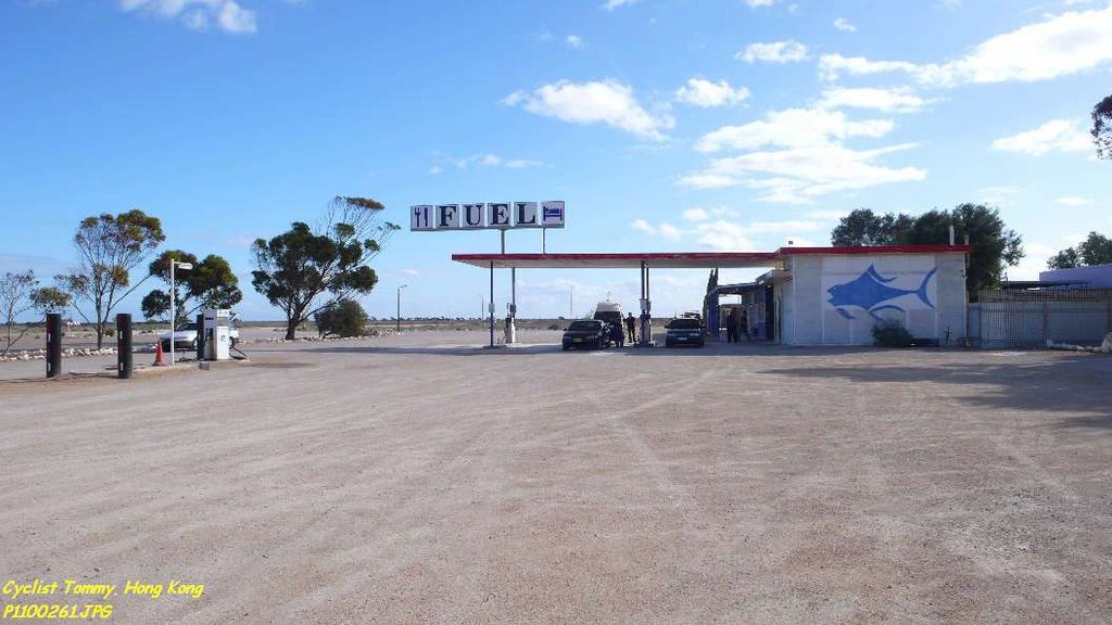
Photos of Mundrabilla


Mundrabilla Weather

Forecast: Overcast clouds
Temperature: 19.5°
Humidity: 60%
Sun info not available
Attunga, Australia
Latitude: -30.8999 // Longitude: 150.779
Photos of Attunga


Attunga Weather

Forecast: Clear sky
Temperature: 33.0°
Humidity: 25%
Current time: 08:42 PM
Sunrise: 06:53 AM
Sunset: 07:19 PM


