
Distance between  Mundrabilla and
  Angledool
1,184.72 mi Straight Distance
1,448.54 mi Driving Distance
1 day 3 hours Estimated Driving Time
The straight distance between Mundrabilla (Western Australia) and Angledool (New South Wales) is 1,184.72 mi, but the driving distance is 1,448.54 mi.
It takes 1 day 3 hours to go from Mundrabilla to Angledool.
Driving directions from Mundrabilla to Angledool
Distance in kilometers
Straight distance: 1,906.21 km. Route distance: 2,330.69 km
Mundrabilla, Australia
Latitude: -31.8184 // Longitude: 128.225
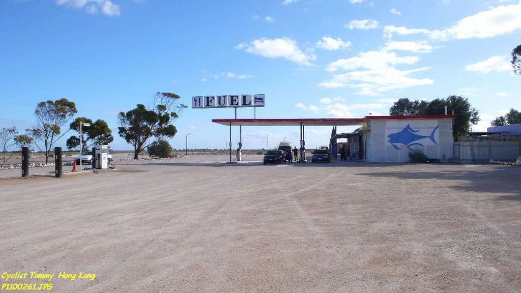
Photos of Mundrabilla


Mundrabilla Weather

Forecast: Overcast clouds
Temperature: 19.5°
Humidity: 60%
Sun info not available
Angledool, Australia
Latitude: -29.0994 // Longitude: 147.894
Photos of Angledool


Angledool Weather

Forecast: Clear sky
Temperature: 27.3°
Humidity: 27%
Sun info not available


