
Distance between  Mt Larcom and
  Fernvale
272.59 mi Straight Distance
353.72 mi Driving Distance
7 hours 43 mins Estimated Driving Time
The straight distance between Mt Larcom (Queensland) and Fernvale (Queensland) is 272.59 mi, but the driving distance is 353.72 mi.
It takes 7 hours 43 mins to go from Mt Larcom to Fernvale.
Driving directions from Mt Larcom to Fernvale
Distance in kilometers
Straight distance: 438.60 km. Route distance: 569.13 km
Mt Larcom, Australia
Latitude: -23.8105 // Longitude: 150.979
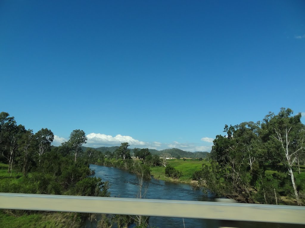
Photos of Mt Larcom


Mt Larcom Weather

Forecast: Clear sky
Temperature: 23.0°
Humidity: 100%
Sun info not available
Fernvale, Australia
Latitude: -27.4559 // Longitude: 152.653
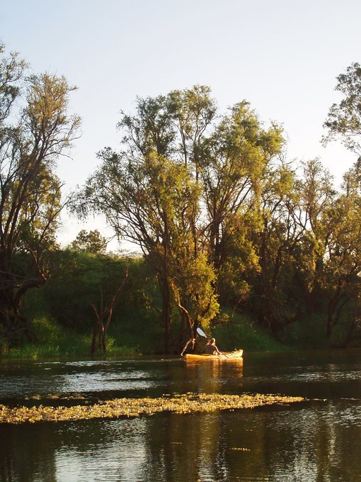
Photos of Fernvale


Fernvale Weather

Forecast: Broken clouds
Temperature: 19.9°
Humidity: 95%
Current time: 12:03 PM
Sunrise: 05:46 AM
Sunset: 06:13 PM


