
Distance between  Mountain Lagoon and
  Toolakea
1,018.92 mi Straight Distance
1,287.12 mi Driving Distance
1 day 2 hours Estimated Driving Time
The straight distance between Mountain Lagoon (New South Wales) and Toolakea (Queensland) is 1,018.92 mi, but the driving distance is 1,287.12 mi.
It takes 1 day 2 hours to go from Mountain Lagoon to Toolakea.
Driving directions from Mountain Lagoon to Toolakea
Distance in kilometers
Straight distance: 1,639.43 km. Route distance: 2,070.98 km
Mountain Lagoon, Australia
Latitude: -33.4462 // Longitude: 150.627
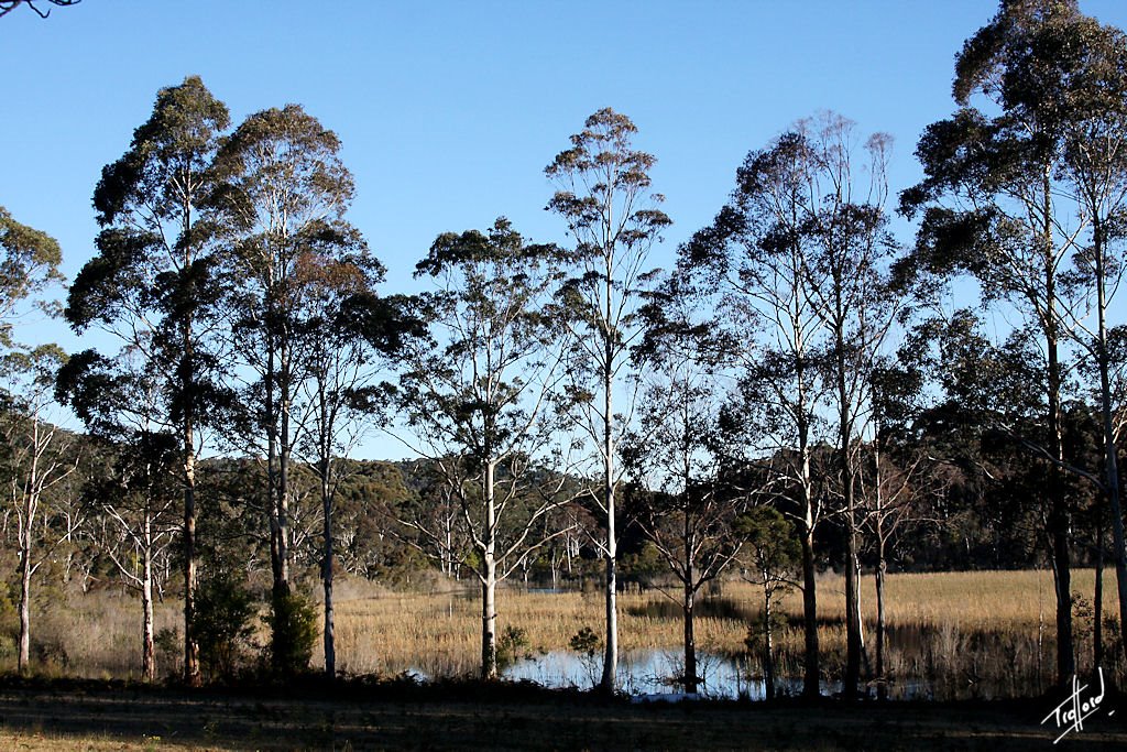
Photos of Mountain Lagoon


Mountain Lagoon Weather

Forecast: Clear sky
Temperature: 24.7°
Humidity: 24%
Sun info not available
Toolakea, Australia
Latitude: -19.1479 // Longitude: 146.582
Photos of Toolakea


Toolakea Weather

Forecast: Broken clouds
Temperature: 28.0°
Humidity: 79%
Current time: 06:39 PM
Sunrise: 06:14 AM
Sunset: 06:32 PM


