
Distance between  Mountain Lagoon and
  Gravesend
267.46 mi Straight Distance
359.26 mi Driving Distance
8 hours 6 mins Estimated Driving Time
The straight distance between Mountain Lagoon (New South Wales) and Gravesend (New South Wales) is 267.46 mi, but the driving distance is 359.26 mi.
It takes 8 hours 6 mins to go from Mountain Lagoon to Gravesend.
Driving directions from Mountain Lagoon to Gravesend
Distance in kilometers
Straight distance: 430.34 km. Route distance: 578.06 km
Mountain Lagoon, Australia
Latitude: -33.4462 // Longitude: 150.627
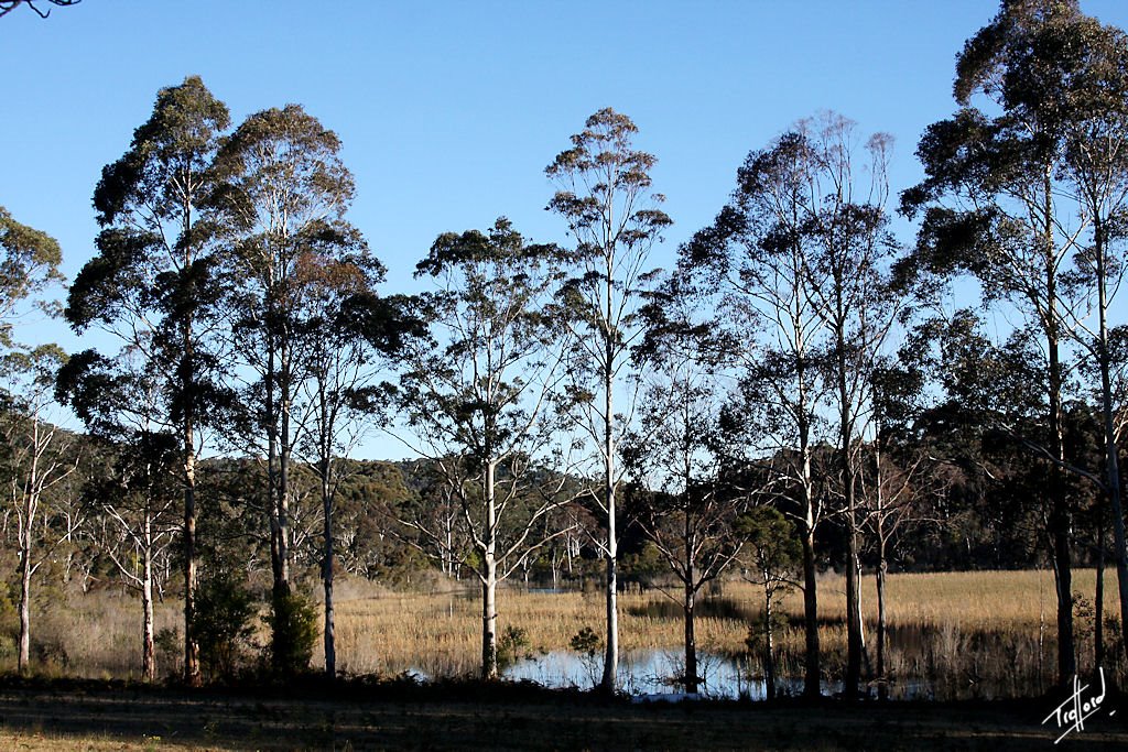
Photos of Mountain Lagoon


Mountain Lagoon Weather

Forecast: Overcast clouds
Temperature: 19.5°
Humidity: 98%
Sun info not available
Gravesend, Australia
Latitude: -29.5831 // Longitude: 150.337
Photos of Gravesend


Gravesend Weather

Forecast: Clear sky
Temperature: 21.2°
Humidity: 81%
Sun info not available


