
Distance between  Mount Camel and
  Yarragon
123.83 mi Straight Distance
155.54 mi Driving Distance
3 hours 28 mins Estimated Driving Time
The straight distance between Mount Camel (Victoria) and Yarragon (Victoria) is 123.83 mi, but the driving distance is 155.54 mi.
It takes 3 hours 28 mins to go from Mount Camel to Yarragon.
Driving directions from Mount Camel to Yarragon
Distance in kilometers
Straight distance: 199.24 km. Route distance: 250.26 km
Mount Camel, Australia
Latitude: -36.7606 // Longitude: 144.725
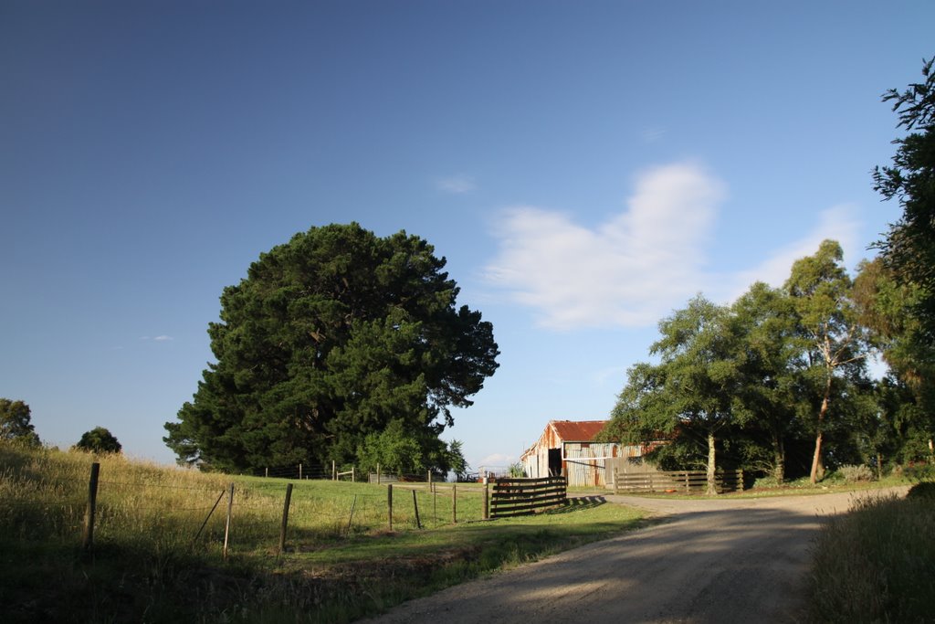
Photos of Mount Camel


Mount Camel Weather

Forecast: Clear sky
Temperature: 18.0°
Humidity: 40%
Sun info not available
Yarragon, Australia
Latitude: -38.2039 // Longitude: 146.064
Photos of Yarragon


Yarragon Weather
Forecast: Clear sky
Temperature: 18.0°
Humidity: 40%
Current time: 05:20 AM
Sunrise: 07:04 AM
Sunset: 07:49 PM


