
Distance between  Morwell and
  Tarcutta
217.50 mi Straight Distance
347.25 mi Driving Distance
7 hours 4 mins Estimated Driving Time
The straight distance between Morwell (Victoria) and Tarcutta (New South Wales) is 217.50 mi, but the driving distance is 347.25 mi.
It takes 7 hours 4 mins to go from Morwell to Tarcutta.
Driving directions from Morwell to Tarcutta
Distance in kilometers
Straight distance: 349.96 km. Route distance: 558.73 km
Morwell, Australia
Latitude: -38.2346 // Longitude: 146.395
Photos of Morwell


Morwell Weather

Forecast: Scattered clouds
Temperature: 19.3°
Humidity: 87%
Current time: 06:17 AM
Sunrise: 07:07 AM
Sunset: 07:42 PM
Tarcutta, Australia
Latitude: -35.2764 // Longitude: 147.739
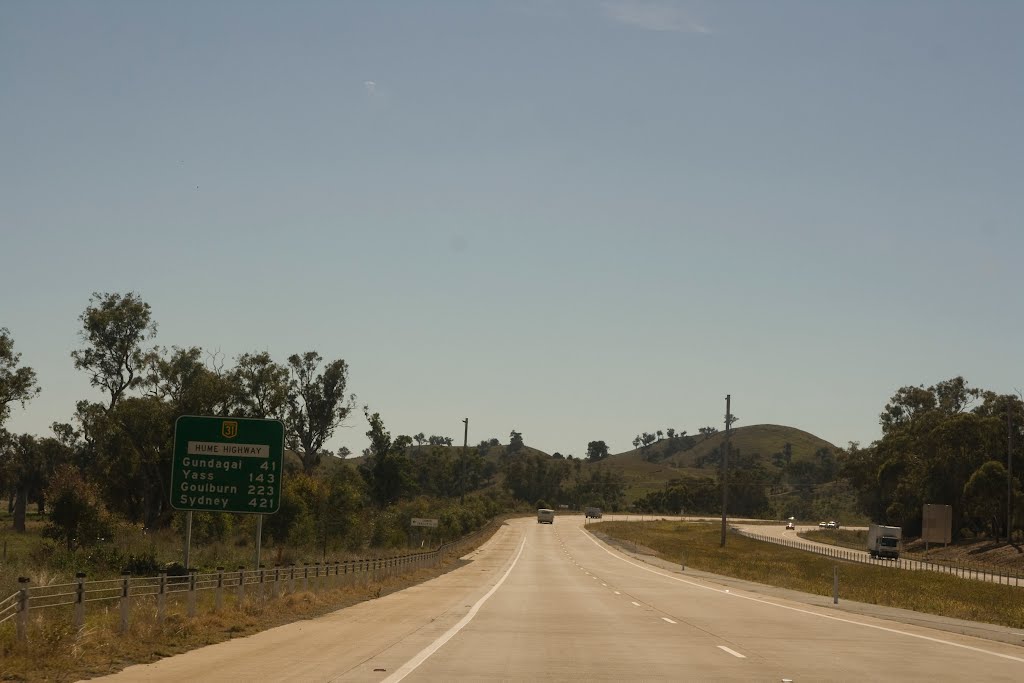
Photos of Tarcutta


Tarcutta Weather

Forecast: Clear sky
Temperature: 19.5°
Humidity: 61%
Sun info not available


