
Distance between  Moolap and
  Malebo
268.59 mi Straight Distance
330.44 mi Driving Distance
6 hours 48 mins Estimated Driving Time
The straight distance between Moolap (Victoria) and Malebo (New South Wales) is 268.59 mi, but the driving distance is 330.44 mi.
It takes 6 hours 48 mins to go from Moolap to Malebo.
Driving directions from Moolap to Malebo
Distance in kilometers
Straight distance: 432.16 km. Route distance: 531.68 km
Moolap, Australia
Latitude: -38.1784 // Longitude: 144.42
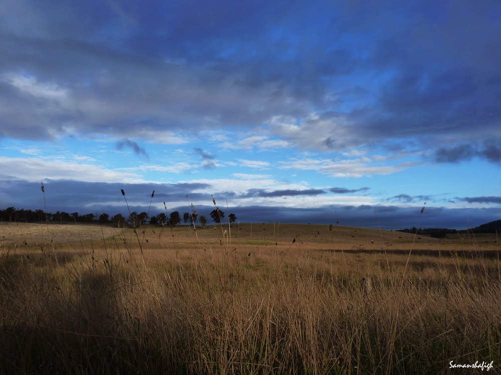
Photos of Moolap


. Over a kilometre in length, this was established by Alcoa for alumina ore imports for their Point Henry smelter")


Moolap Weather

Forecast: Clear sky
Temperature: 18.0°
Humidity: 40%
Current time: 01:17 AM
Sunrise: 07:13 AM
Sunset: 07:51 PM
Malebo, Australia
Latitude: -35.0333 // Longitude: 147.267
Photos of Malebo


Malebo Weather
Forecast: Clear sky
Temperature: 18.0°
Humidity: 40%
Current time: 01:17 AM
Sunrise: 07:04 AM
Sunset: 07:38 PM


