
Distance between  Moolap and
  Drummond Cove
1,830.21 mi Straight Distance
2,293.45 mi Driving Distance
1 day 20 hours Estimated Driving Time
The straight distance between Moolap (Victoria) and Drummond Cove (Western Australia) is 1,830.21 mi, but the driving distance is 2,293.45 mi.
It takes 1 day 20 hours to go from Moolap to Drummond Cove.
Driving directions from Moolap to Drummond Cove
Distance in kilometers
Straight distance: 2,944.80 km. Route distance: 3,690.16 km
Moolap, Australia
Latitude: -38.1784 // Longitude: 144.42
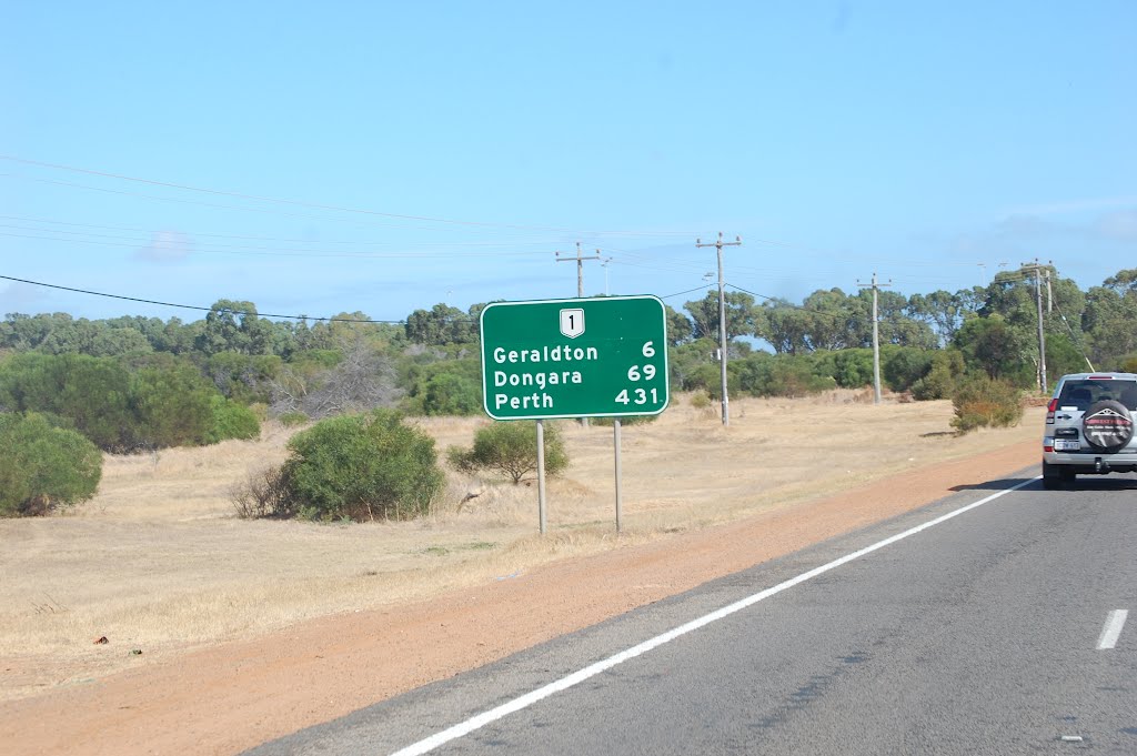
Photos of Moolap


. Over a kilometre in length, this was established by Alcoa for alumina ore imports for their Point Henry smelter")


Moolap Weather

Forecast: Clear sky
Temperature: 18.0°
Humidity: 40%
Current time: 04:38 PM
Sunrise: 07:12 AM
Sunset: 07:52 PM
Drummond Cove, Australia
Latitude: -28.6714 // Longitude: 114.613
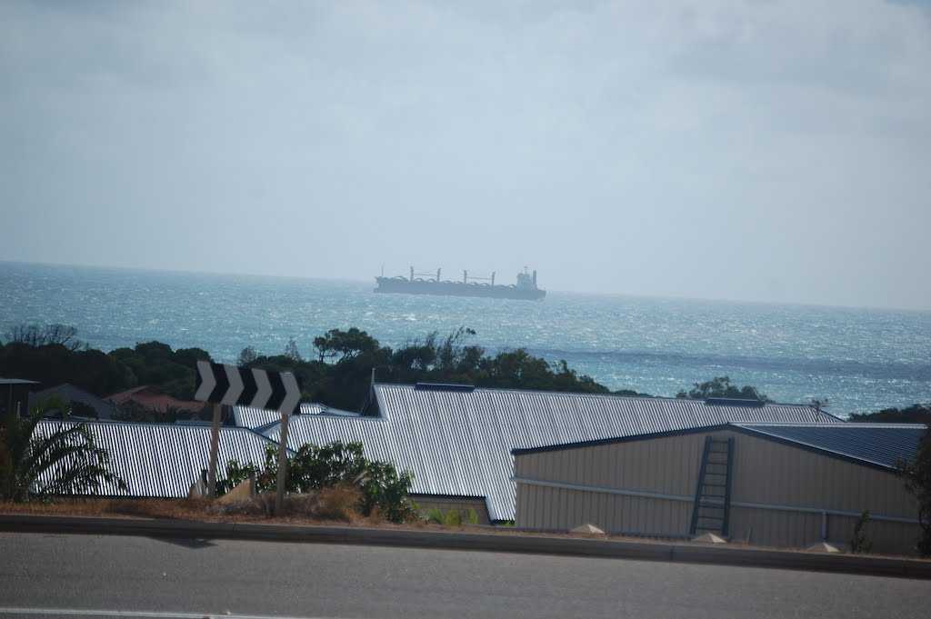
Photos of Drummond Cove


Drummond Cove Weather
Forecast: Clear sky
Temperature: 18.0°
Humidity: 40%
Current time: 01:38 PM
Sunrise: 06:17 AM
Sunset: 06:47 PM


