
Distance between  Millaroo and
  Karlgarin
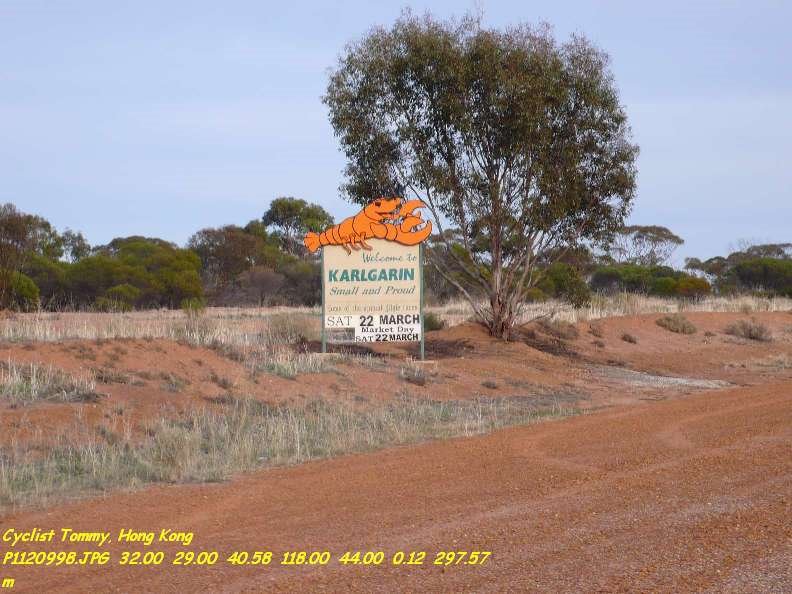
1,958.72 mi Straight Distance
2,822.65 mi Driving Distance
2 days 11 hours Estimated Driving Time
The straight distance between Millaroo (Queensland) and Karlgarin (Western Australia) is 1,958.72 mi, but the driving distance is 2,822.65 mi.
It takes 2 days 11 hours to go from Millaroo to Karlgarin.
Driving directions from Millaroo to Karlgarin
Distance in kilometers
Straight distance: 3,151.58 km. Route distance: 4,541.65 km
Millaroo, Australia
Latitude: -20.055 // Longitude: 147.281
Photos of Millaroo


Millaroo Weather

Forecast: Few clouds
Temperature: 22.3°
Humidity: 95%
Sun info not available
Karlgarin, Australia
Latitude: -32.4953 // Longitude: 118.715
Photos of Karlgarin


Karlgarin Weather

Forecast: Clear sky
Temperature: 11.2°
Humidity: 86%
Sun info not available


