
Distance between  Maindample and
  Gaffneys Creek
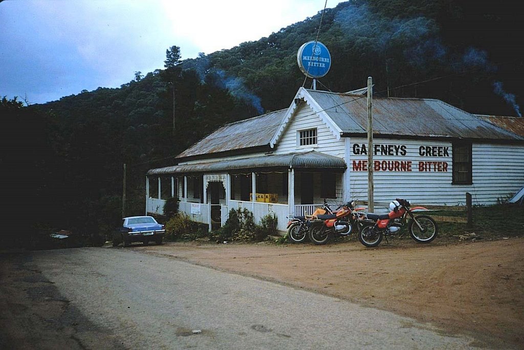
33.44 mi Straight Distance
54.33 mi Driving Distance
1 hour 28 mins Estimated Driving Time
The straight distance between Maindample (Victoria) and Gaffneys Creek (Victoria) is 33.44 mi, but the driving distance is 54.33 mi.
It takes 1 hour 28 mins to go from Maindample to Gaffneys Creek.
Driving directions from Maindample to Gaffneys Creek
Distance in kilometers
Straight distance: 53.80 km. Route distance: 87.42 km
Maindample, Australia
Latitude: -37.0272 // Longitude: 145.948
Photos of Maindample


Maindample Weather

Forecast: Clear sky
Temperature: 18.0°
Humidity: 40%
Current time: 10:58 PM
Sunrise: 07:07 AM
Sunset: 07:46 PM
Gaffneys Creek, Australia
Latitude: -37.4722 // Longitude: 146.187
Photos of Gaffneys Creek


Gaffneys Creek Weather
Forecast: Clear sky
Temperature: 18.0°
Humidity: 40%
Sun info not available


