
Distance between  Lower Light and
  Fernvale
972.13 mi Straight Distance
1,242.11 mi Driving Distance
1 days 0 hours Estimated Driving Time
The straight distance between Lower Light (South Australia) and Fernvale (Queensland) is 972.13 mi, but the driving distance is 1,242.11 mi.
It takes 1 days 0 hours to go from Lower Light to Fernvale.
Driving directions from Lower Light to Fernvale
Distance in kilometers
Straight distance: 1,564.16 km. Route distance: 1,998.55 km
Lower Light, Australia
Latitude: -34.5305 // Longitude: 138.437
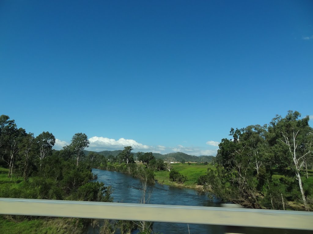
Photos of Lower Light


Lower Light Weather

Forecast: Overcast clouds
Temperature: 15.4°
Humidity: 79%
Current time: 08:32 AM
Sunrise: 07:07 AM
Sunset: 07:47 PM
Fernvale, Australia
Latitude: -27.4559 // Longitude: 152.653
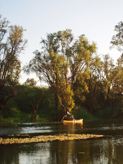
Photos of Fernvale


Fernvale Weather

Forecast: Light rain
Temperature: 23.3°
Humidity: 92%
Current time: 08:02 AM
Sunrise: 05:44 AM
Sunset: 06:16 PM


