
Distance between  Limestone and
  Brandum
322.74 mi Straight Distance
450.29 mi Driving Distance
12 hours 59 mins Estimated Driving Time
The straight distance between Limestone (Victoria) and Brandum (Tasmania) is 322.74 mi, but the driving distance is 450.29 mi.
It takes to go from Limestone to Brandum.
Driving directions from Limestone to Brandum
Distance in kilometers
Straight distance: 519.28 km. Route distance: 724.51 km
Limestone, Australia
Latitude: -37.2451 // Longitude: 145.495
Photos of Limestone


Limestone Weather

Forecast: Broken clouds
Temperature: 23.6°
Humidity: 53%
Current time: 06:56 AM
Sunrise: 06:47 AM
Sunset: 08:16 PM
Brandum, Australia
Latitude: -41.8269 // Longitude: 146.674
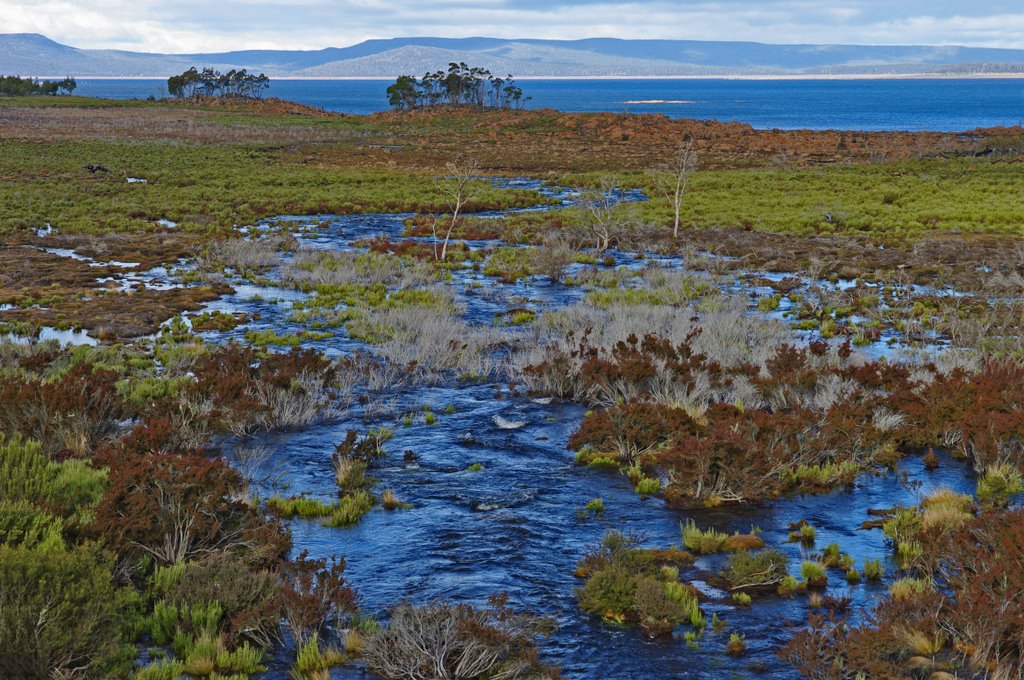
Photos of Brandum


Brandum Weather

Forecast: Few clouds
Temperature: 10.4°
Humidity: 84%
Current time: 10:00 AM
Sunrise: 06:35 AM
Sunset: 08:18 PM


