
Distance between  Levendale and
  Wudinna
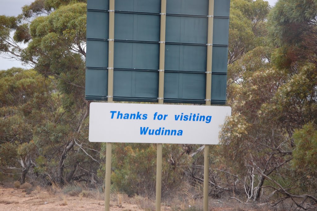
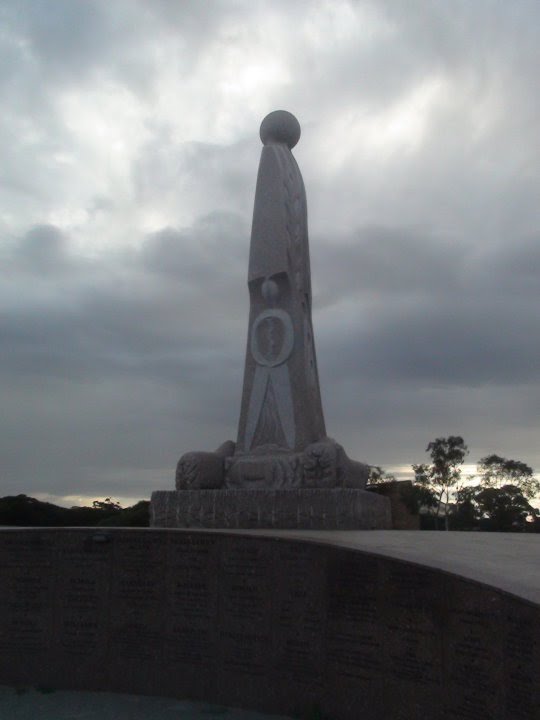
929.57 mi Straight Distance
1,211.92 mi Driving Distance
1 day 3 hours Estimated Driving Time
The straight distance between Levendale (Tasmania) and Wudinna (South Australia) is 929.57 mi, but the driving distance is 1,211.92 mi.
It takes 1 day 3 hours to go from Levendale to Wudinna.
Driving directions from Levendale to Wudinna
Distance in kilometers
Straight distance: 1,495.68 km. Route distance: 1,949.99 km
Levendale, Australia
Latitude: -42.5419 // Longitude: 147.569
Photos of Levendale


Levendale Weather

Forecast: Clear sky
Temperature: 18.0°
Humidity: 40%
Sun info not available
Wudinna, Australia
Latitude: -33.0465 // Longitude: 135.46
Photos of Wudinna


Wudinna Weather
Forecast: Clear sky
Temperature: 18.0°
Humidity: 40%
Current time: 07:15 PM
Sunrise: 07:21 AM
Sunset: 07:55 PM


