
Distance between  Lardner and
  Tarcutta
227.32 mi Straight Distance
327.51 mi Driving Distance
6 hours 47 mins Estimated Driving Time
The straight distance between Lardner (Victoria) and Tarcutta (New South Wales) is 227.32 mi, but the driving distance is 327.51 mi.
It takes 6 hours 47 mins to go from Lardner to Tarcutta.
Driving directions from Lardner to Tarcutta
Distance in kilometers
Straight distance: 365.76 km. Route distance: 526.96 km
Lardner, Australia
Latitude: -38.2105 // Longitude: 145.881
Photos of Lardner

. First established here in 1888, the hospital now provides acute medical and surgical, obstetric, emergency, community and aged care services")


Lardner Weather

Forecast: Clear sky
Temperature: 15.4°
Humidity: 93%
Current time: 06:18 PM
Sunrise: 07:05 AM
Sunset: 07:50 PM
Tarcutta, Australia
Latitude: -35.2764 // Longitude: 147.739
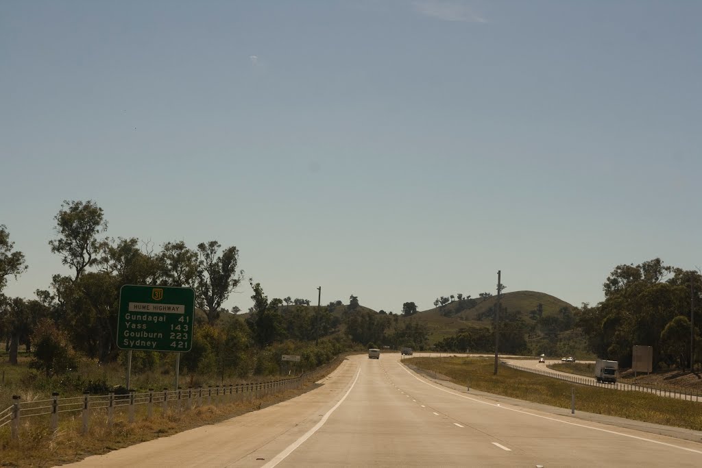
Photos of Tarcutta


Tarcutta Weather
Forecast: Clear sky
Temperature: 18.0°
Humidity: 40%
Sun info not available


