
Distance between  Kotta and
  Mountain Lagoon
394.26 mi Straight Distance
534.26 mi Driving Distance
10 hours 38 mins Estimated Driving Time
The straight distance between Kotta (Victoria) and Mountain Lagoon (New South Wales) is 394.26 mi, but the driving distance is 534.26 mi.
It takes to go from Kotta to Mountain Lagoon.
Driving directions from Kotta to Mountain Lagoon
Distance in kilometers
Straight distance: 634.36 km. Route distance: 859.63 km
Kotta, Australia
Latitude: -36.1989 // Longitude: 144.536
Photos of Kotta


Kotta Weather

Forecast: Overcast clouds
Temperature: 29.6°
Humidity: 45%
Current time: 01:15 AM
Sunrise: 07:06 AM
Sunset: 08:02 PM
Mountain Lagoon, Australia
Latitude: -33.4462 // Longitude: 150.627
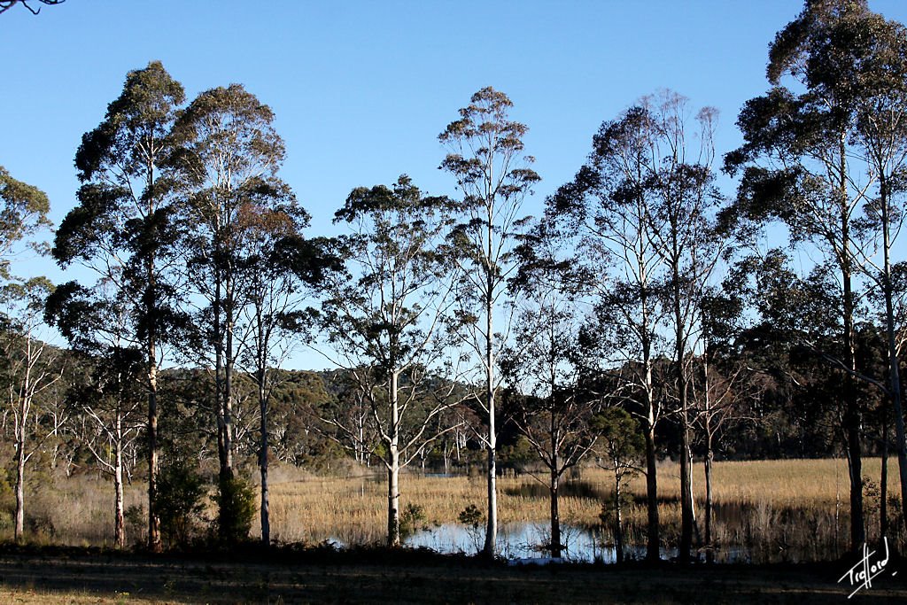
Photos of Mountain Lagoon


Mountain Lagoon Weather
Forecast: Overcast clouds
Temperature: 21.2°
Humidity: 83%
Current time: 10:00 AM
Sunrise: 06:44 AM
Sunset: 07:35 PM


