
Distance between  Killawarra and
  Book Book
95.18 mi Straight Distance
126.24 mi Driving Distance
2 hours 27 mins Estimated Driving Time
The straight distance between Killawarra (Victoria) and Book Book (New South Wales) is 95.18 mi, but the driving distance is 126.24 mi.
It takes 2 hours 27 mins to go from Killawarra to Book Book.
Driving directions from Killawarra to Book Book
Distance in kilometers
Straight distance: 153.14 km. Route distance: 203.12 km
Killawarra, Australia
Latitude: -36.2393 // Longitude: 146.246
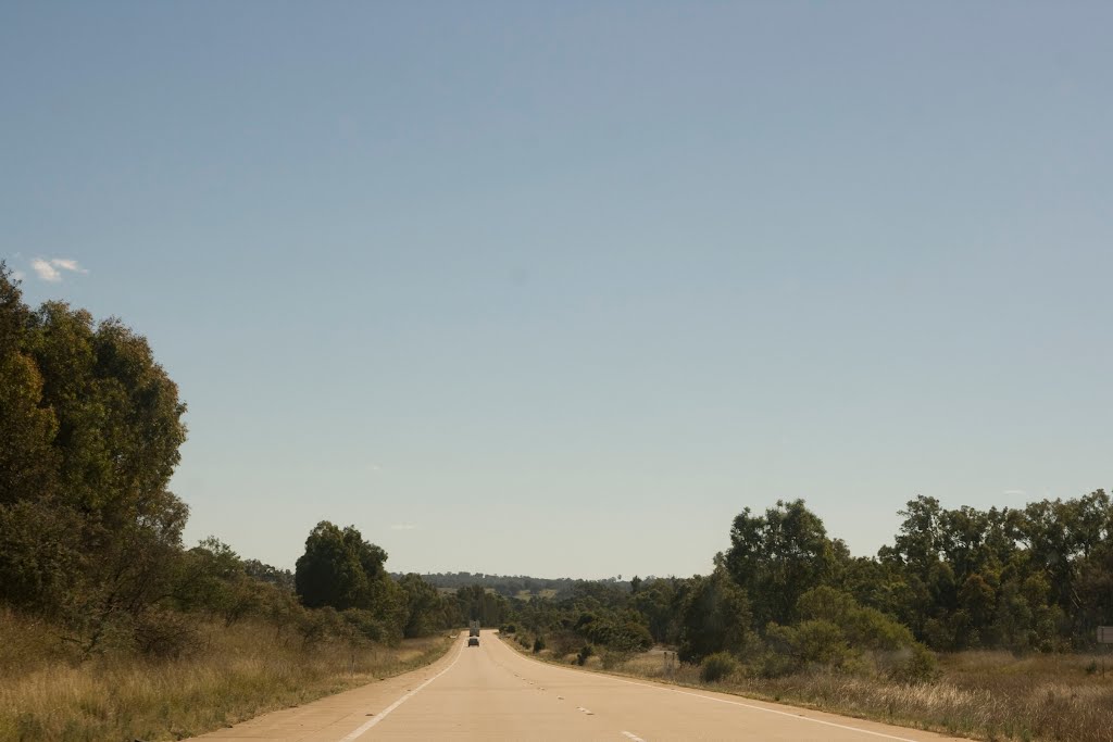
Photos of Killawarra


: Frosts")


: Frosts")
Killawarra Weather

Forecast: Clear sky
Temperature: 10.7°
Humidity: 70%
Sun info not available
Book Book, Australia
Latitude: -35.3694 // Longitude: 147.563
Photos of Book Book


Book Book Weather
Forecast: Clear sky
Temperature: 11.8°
Humidity: 72%
Sun info not available


