
Distance between  Karlgarin and
  Eastern View
1,478.66 mi Straight Distance
1,885.08 mi Driving Distance
1 day 14 hours Estimated Driving Time
The straight distance between Karlgarin (Western Australia) and Eastern View (Victoria) is 1,478.66 mi, but the driving distance is 1,885.08 mi.
It takes 1 day 14 hours to go from Karlgarin to Eastern View.
Driving directions from Karlgarin to Eastern View
Distance in kilometers
Straight distance: 2,379.16 km. Route distance: 3,033.09 km
Karlgarin, Australia
Latitude: -32.4953 // Longitude: 118.715
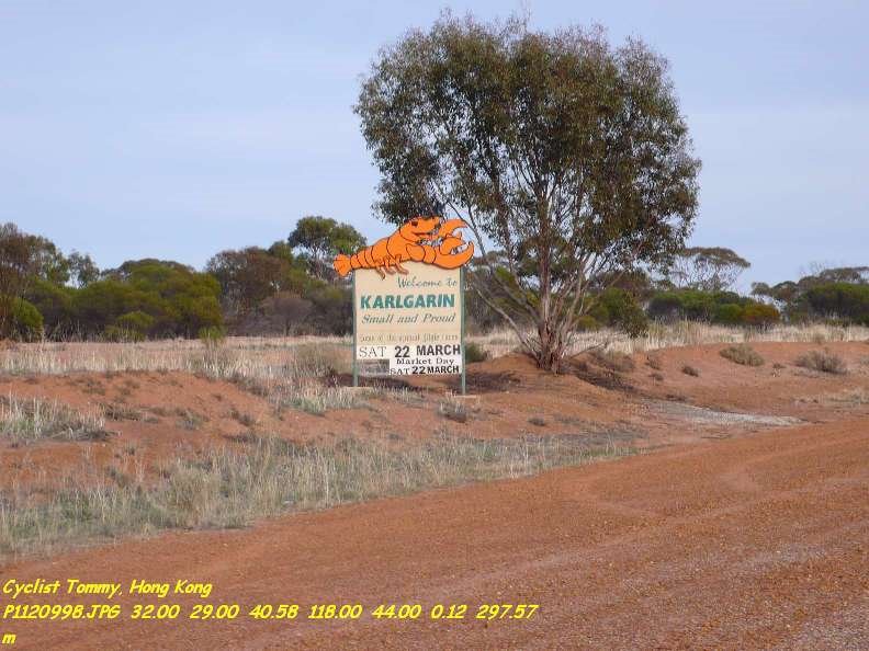
Photos of Karlgarin


Karlgarin Weather

Forecast: Clear sky
Temperature: 18.3°
Humidity: 76%
Sun info not available
Eastern View, Australia
Latitude: -38.4708 // Longitude: 144.051
Photos of Eastern View


 2003")


Eastern View Weather

Forecast: Scattered clouds
Temperature: 15.3°
Humidity: 89%
Current time: 07:06 PM
Sunrise: 07:12 AM
Sunset: 07:57 PM


