
Distance between  Isseka and
  Rowsley
1,827.08 mi Straight Distance
2,291.07 mi Driving Distance
1 day 19 hours Estimated Driving Time
The straight distance between Isseka (Western Australia) and Rowsley (Victoria) is 1,827.08 mi, but the driving distance is 2,291.07 mi.
It takes 1 day 19 hours to go from Isseka to Rowsley.
Driving directions from Isseka to Rowsley
Distance in kilometers
Straight distance: 2,939.77 km. Route distance: 3,686.33 km
Isseka, Australia
Latitude: -28.4413 // Longitude: 114.646
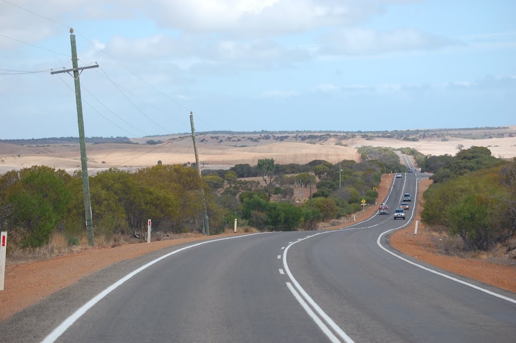
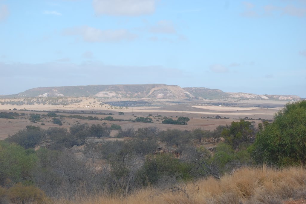
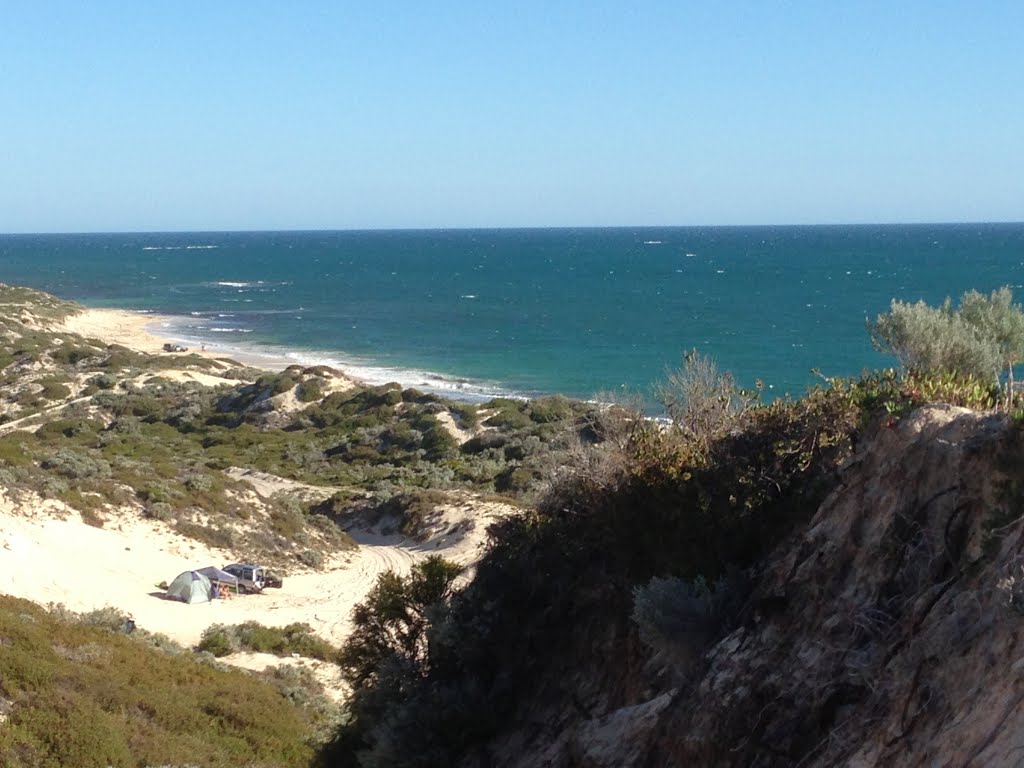
Photos of Isseka


Isseka Weather

Forecast: Clear sky
Temperature: 18.0°
Humidity: 40%
Sun info not available
Rowsley, Australia
Latitude: -37.7214 // Longitude: 144.374
Photos of Rowsley

")


Rowsley Weather
Forecast: Clear sky
Temperature: 18.0°
Humidity: 40%
Current time: 05:08 AM
Sunrise: 07:12 AM
Sunset: 07:54 PM


