
Distance between  Isseka and
  Point Samson
562.98 mi Straight Distance
692.20 mi Driving Distance
12 hours 48 mins Estimated Driving Time
The straight distance between Isseka (Western Australia) and Point Samson (Western Australia) is 562.98 mi, but the driving distance is 692.20 mi.
It takes 12 hours 48 mins to go from Isseka to Point Samson.
Driving directions from Isseka to Point Samson
Distance in kilometers
Straight distance: 905.84 km. Route distance: 1,113.75 km
Isseka, Australia
Latitude: -28.4413 // Longitude: 114.646
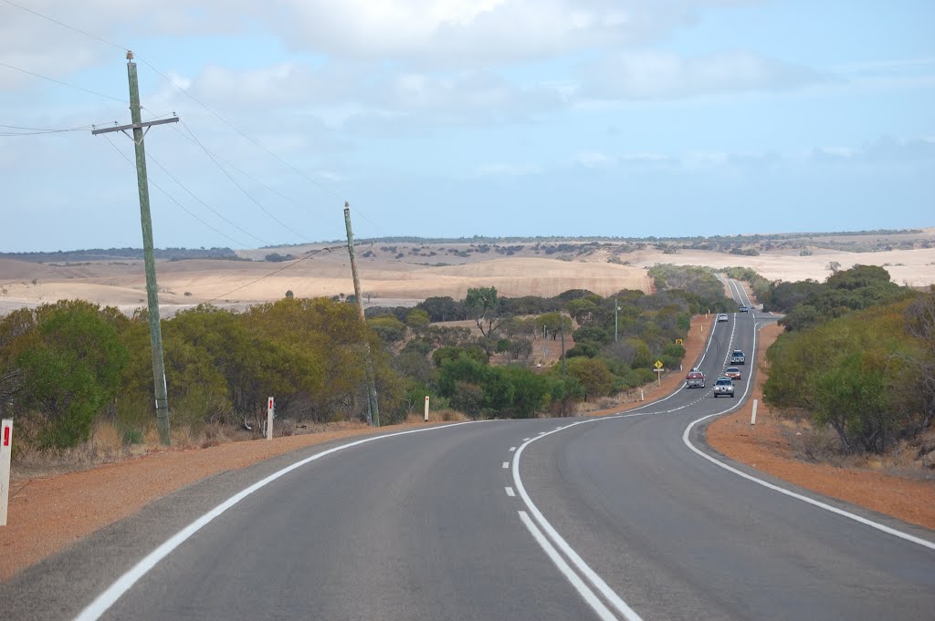
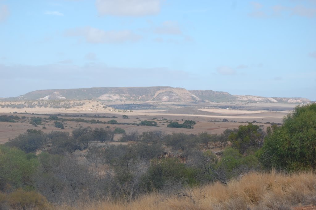
Photos of Isseka


Isseka Weather

Forecast: Clear sky
Temperature: 18.0°
Humidity: 40%
Sun info not available
Point Samson, Australia
Latitude: -20.6289 // Longitude: 117.194
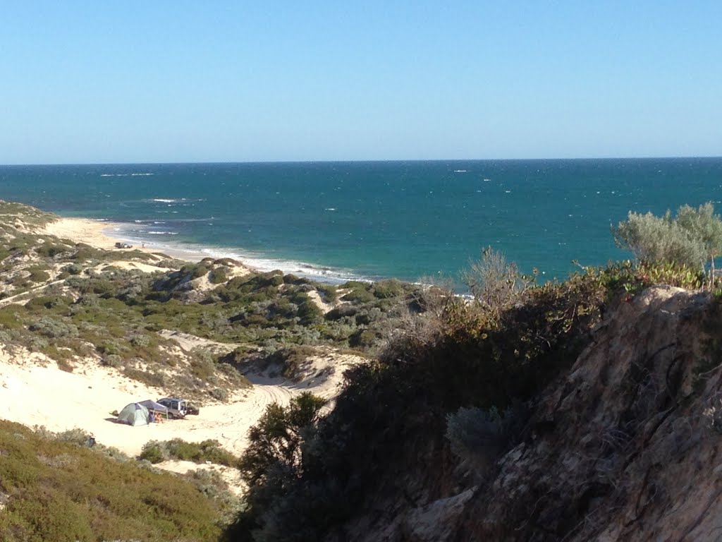
Photos of Point Samson


")
Point Samson Weather
Forecast: Clear sky
Temperature: 18.0°
Humidity: 40%
Current time: 11:14 PM
Sunrise: 06:09 AM
Sunset: 06:35 PM


