
Distance between  Isseka and
  Moolap
1,836.17 mi Straight Distance
2,309.82 mi Driving Distance
1 day 20 hours Estimated Driving Time
The straight distance between Isseka (Western Australia) and Moolap (Victoria) is 1,836.17 mi, but the driving distance is 2,309.82 mi.
It takes 1 day 20 hours to go from Isseka to Moolap.
Driving directions from Isseka to Moolap
Distance in kilometers
Straight distance: 2,954.40 km. Route distance: 3,716.50 km
Isseka, Australia
Latitude: -28.4413 // Longitude: 114.646
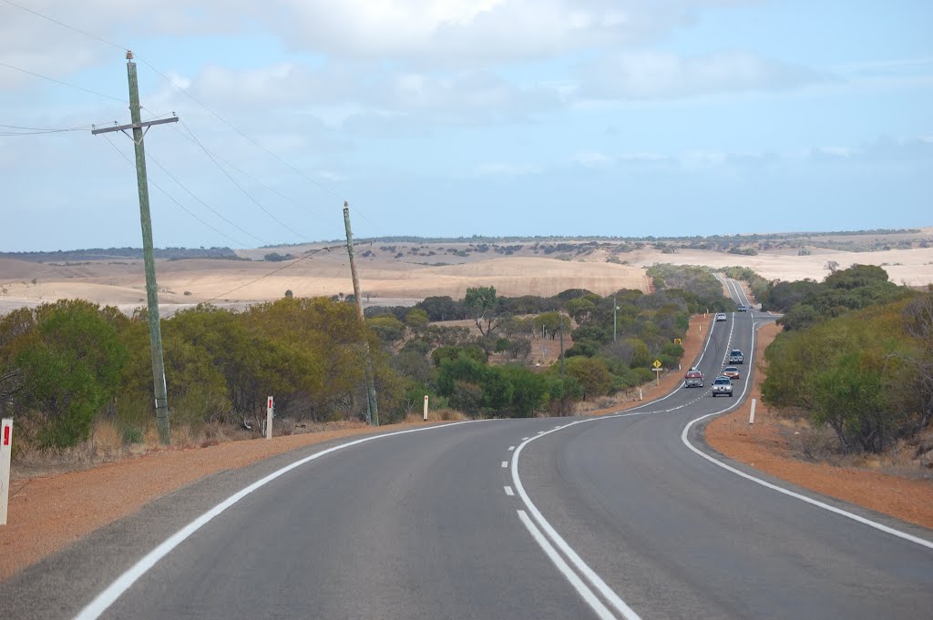
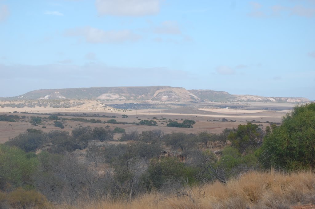
Photos of Isseka


Isseka Weather

Forecast: Clear sky
Temperature: 19.9°
Humidity: 42%
Sun info not available
Moolap, Australia
Latitude: -38.1784 // Longitude: 144.42
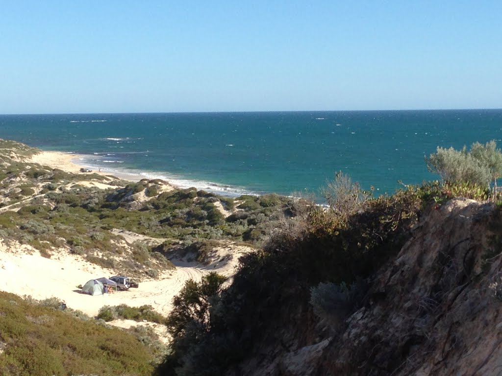
Photos of Moolap


. Over a kilometre in length, this was established by Alcoa for alumina ore imports for their Point Henry smelter")


Moolap Weather

Forecast: Light rain
Temperature: 26.5°
Humidity: 40%
Current time: 06:14 PM
Sunrise: 07:14 AM
Sunset: 07:49 PM


