
Distance between  Isseka and
  Meredith
1,812.93 mi Straight Distance
2,277.11 mi Driving Distance
1 day 19 hours Estimated Driving Time
The straight distance between Isseka (Western Australia) and Meredith (Victoria) is 1,812.93 mi, but the driving distance is 2,277.11 mi.
It takes 1 day 19 hours to go from Isseka to Meredith.
Driving directions from Isseka to Meredith
Distance in kilometers
Straight distance: 2,917.00 km. Route distance: 3,663.87 km
Isseka, Australia
Latitude: -28.4413 // Longitude: 114.646
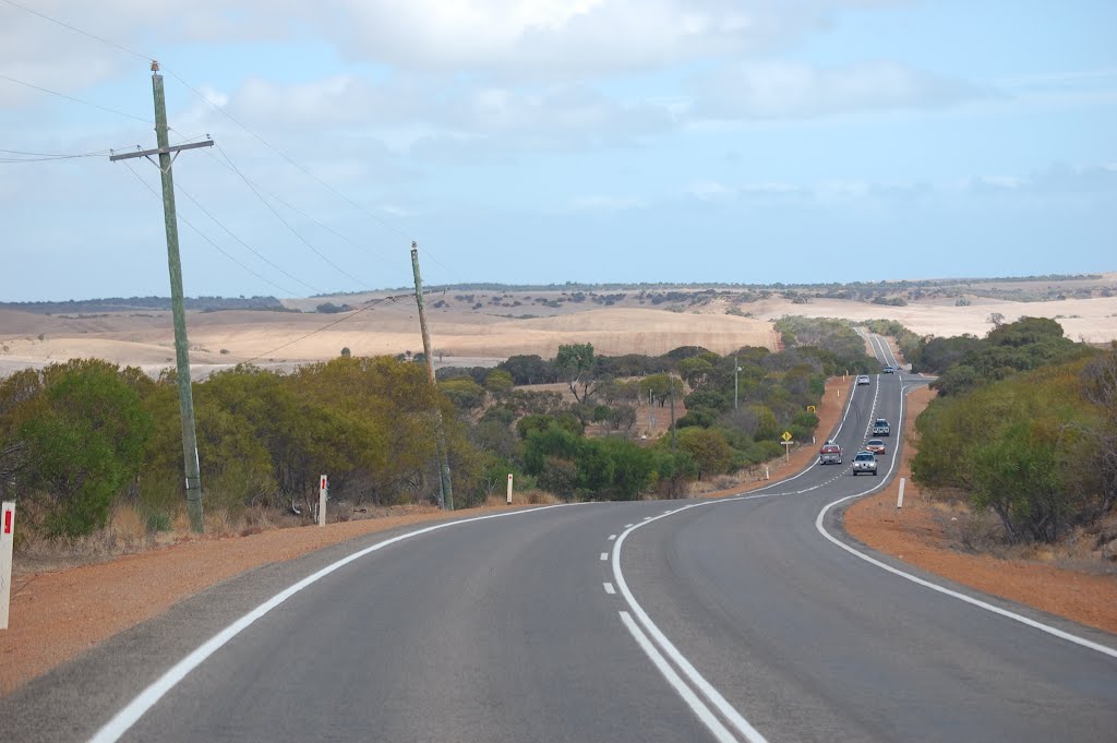
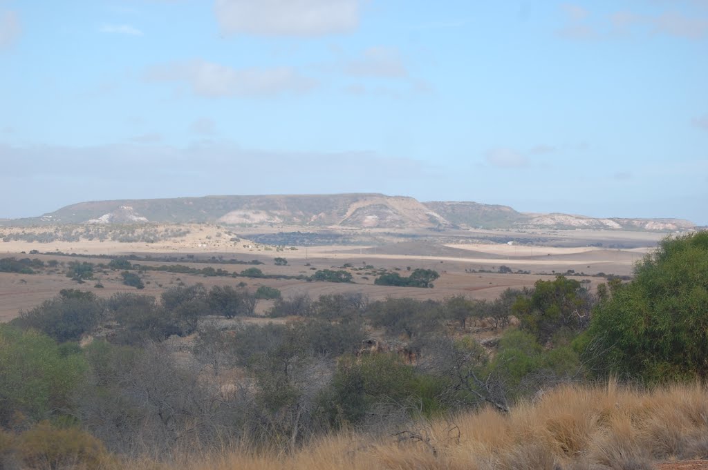
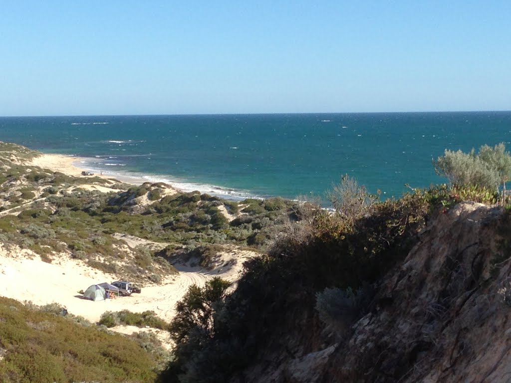
Photos of Isseka


Isseka Weather

Forecast: Clear sky
Temperature: 18.0°
Humidity: 40%
Sun info not available
Meredith, Australia
Latitude: -37.8411 // Longitude: 144.077
Photos of Meredith
![the Anglican Church of the Epiphany, Meredith [2012]](/photos/77515502.jpg "the Anglican Church of the Epiphany, Meredith [2012]")


![Meredith and District Memorial Hall [2012] In August 1905 residents of Meredith formed a committee to erect a Mechanics Institute and Free Library. This Hall was completed in March 1906. Gas lighting was installed in 1914 and replaced by electric lighting](/photos/77516828.jpg "Meredith and District Memorial Hall [2012] In August 1905 residents of Meredith formed a committee to erect a Mechanics Institute and Free Library. This Hall was completed in March 1906. Gas lighting was installed in 1914 and replaced by electric lighting")

![Coco Monkey Cafe and Frank Parnell Real Estate [2012]](/photos/77516630.jpg "Coco Monkey Cafe and Frank Parnell Real Estate [2012]")
![Water Standpipe [2012]](/photos/77517619.jpg "Water Standpipe [2012]")

Meredith Weather
Forecast: Clear sky
Temperature: 18.0°
Humidity: 40%
Current time: 04:12 PM
Sunrise: 07:13 AM
Sunset: 07:55 PM


