
Distance between  Iron Baron and
  Stapleton
1,271.42 mi Straight Distance
1,610.20 mi Driving Distance
1 day 5 hours Estimated Driving Time
The straight distance between Iron Baron (South Australia) and Stapleton (Northern Territory) is 1,271.42 mi, but the driving distance is 1,610.20 mi.
It takes 1 day 6 hours to go from Iron Baron to Stapleton.
Driving directions from Iron Baron to Stapleton
Distance in kilometers
Straight distance: 2,045.71 km. Route distance: 2,590.82 km
Iron Baron, Australia
Latitude: -32.9949 // Longitude: 137.167
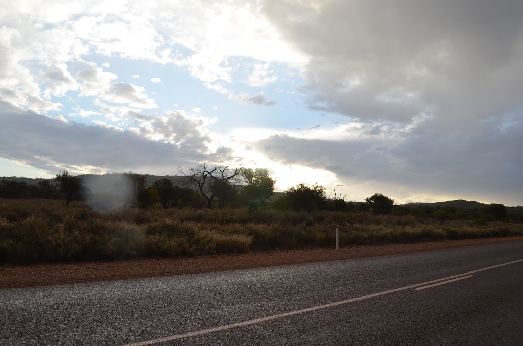
Photos of Iron Baron


Iron Baron Weather

Forecast: Clear sky
Temperature: 18.0°
Humidity: 40%
Current time: 12:00 AM
Sunrise: 08:40 PM
Sunset: 09:25 AM
Stapleton, Australia
Latitude: -14.7578 // Longitude: 134.465
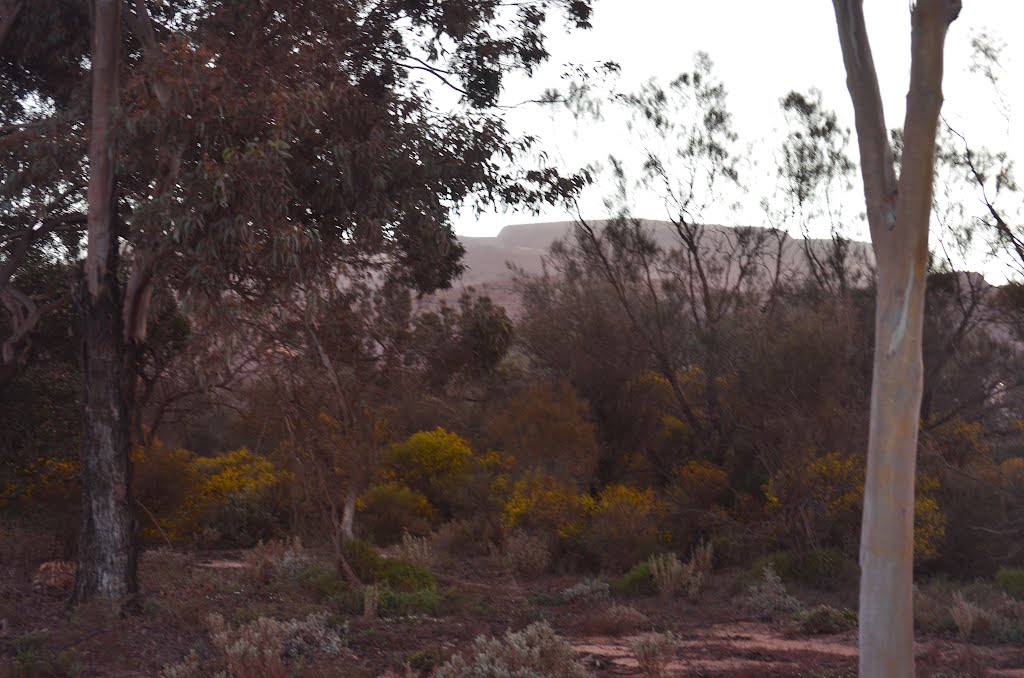
Photos of Stapleton


Stapleton Weather

Forecast: Overcast clouds
Temperature: 24.4°
Humidity: 91%
Current time: 10:57 PM
Sunrise: 06:32 AM
Sunset: 06:55 PM


