
Distance between  Iron Baron and
  Brukunga
172 mi Straight Distance
296.19 mi Driving Distance
6 hours 5 mins Estimated Driving Time
The straight distance between Iron Baron (South Australia) and Brukunga (South Australia) is 172 mi, but the driving distance is 296.19 mi.
It takes 6 hours 5 mins to go from Iron Baron to Brukunga.
Driving directions from Iron Baron to Brukunga
Distance in kilometers
Straight distance: 276.75 km. Route distance: 476.57 km
Iron Baron, Australia
Latitude: -32.9949 // Longitude: 137.167
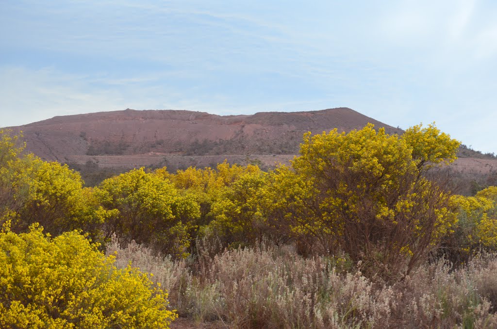
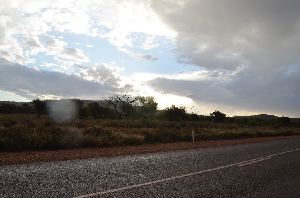
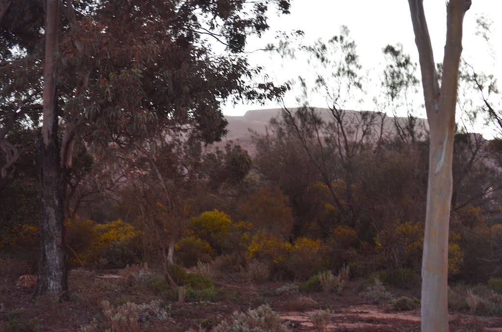
Photos of Iron Baron


Iron Baron Weather

Forecast: Broken clouds
Temperature: 20.5°
Humidity: 33%
Sun info not available
Brukunga, Australia
Latitude: -35.0029 // Longitude: 138.942
Photos of Brukunga

")


Brukunga Weather

Forecast: Clear sky
Temperature: 17.4°
Humidity: 54%
Current time: 07:08 PM
Sunrise: 07:10 AM
Sunset: 07:37 PM


