
Distance between  Hivesville and
  Bluff
Bluff
243.09 mi Straight Distance
352.01 mi Driving Distance
7 hours 15 mins Estimated Driving Time
The straight distance between Hivesville (Queensland) and Bluff (Queensland) is 243.09 mi, but the driving distance is 352.01 mi.
It takes 7 hours 15 mins to go from Hivesville to Bluff.
Driving directions from Hivesville to Bluff
Distance in kilometers
Straight distance: 391.13 km. Route distance: 566.38 km
Hivesville, Australia
Latitude: -26.1769 // Longitude: 151.692
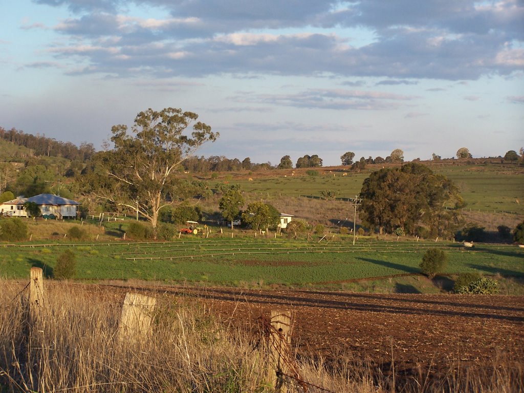
Photos of Hivesville


Hivesville Weather

Forecast: Scattered clouds
Temperature: 30.2°
Humidity: 44%
Sun info not available
Bluff, Australia
Latitude: -23.5826 // Longitude: 149.072
Photos of Bluff


Bluff Weather

Forecast: Clear sky
Temperature: 26.5°
Humidity: 60%
Current time: 02:19 PM
Sunrise: 06:03 AM
Sunset: 06:23 PM


