
Distance between  Highfields and
  Hivesville
89.93 mi Straight Distance
135.77 mi Driving Distance
2 hours 53 mins Estimated Driving Time
The straight distance between Highfields (Queensland) and Hivesville (Queensland) is 89.93 mi, but the driving distance is 135.77 mi.
It takes to go from Highfields to Hivesville.
Driving directions from Highfields to Hivesville
Distance in kilometers
Straight distance: 144.70 km. Route distance: 218.45 km
Highfields, Australia
Latitude: -27.4581 // Longitude: 151.949
Photos of Highfields


")


Highfields Weather

Forecast: Light rain
Temperature: 14.7°
Humidity: 95%
Current time: 11:49 PM
Sunrise: 05:34 AM
Sunset: 06:38 PM
Hivesville, Australia
Latitude: -26.1769 // Longitude: 151.692
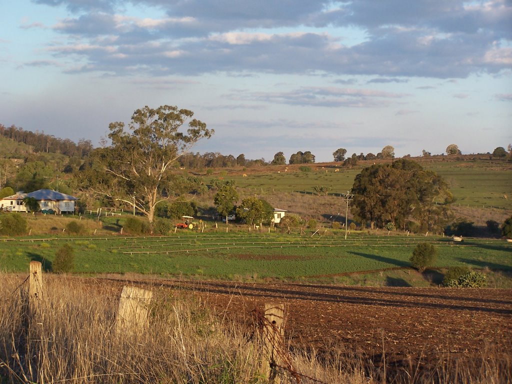
Photos of Hivesville


Hivesville Weather
Forecast: Light rain
Temperature: 17.4°
Humidity: 96%
Current time: 10:00 AM
Sunrise: 05:36 AM
Sunset: 06:37 PM


