
Distance between  Highcroft and
  Nabawa
2,087.03 mi Straight Distance
2,789.29 mi Driving Distance
2 days 9 hours Estimated Driving Time
The straight distance between Highcroft (Tasmania) and Nabawa (Western Australia) is 2,087.03 mi, but the driving distance is 2,789.29 mi.
It takes 2 days 9 hours to go from Highcroft to Nabawa.
Driving directions from Highcroft to Nabawa
Distance in kilometers
Straight distance: 3,358.03 km. Route distance: 4,487.96 km
Highcroft, Australia
Latitude: -43.1387 // Longitude: 147.768
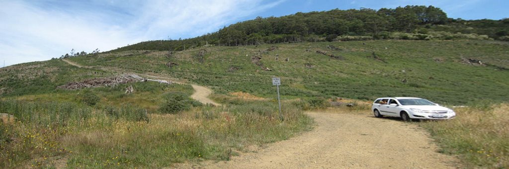
Photos of Highcroft


Highcroft Weather

Forecast: Overcast clouds
Temperature: 20.3°
Humidity: 68%
Sun info not available
Nabawa, Australia
Latitude: -28.4988 // Longitude: 114.792
Photos of Nabawa


Nabawa Weather

Forecast: Clear sky
Temperature: 18.4°
Humidity: 60%
Sun info not available


