
Distance between  High Range and
  Drummond Cove
2,127.10 mi Straight Distance
2,558.82 mi Driving Distance
2 days 0 hours Estimated Driving Time
The straight distance between High Range (New South Wales) and Drummond Cove (Western Australia) is 2,127.10 mi, but the driving distance is 2,558.82 mi.
It takes 2 days 0 hours to go from High Range to Drummond Cove.
Driving directions from High Range to Drummond Cove
Distance in kilometers
Straight distance: 3,422.50 km. Route distance: 4,117.14 km
High Range, Australia
Latitude: -34.373 // Longitude: 150.297
Photos of High Range


High Range Weather

Forecast: Clear sky
Temperature: 18.0°
Humidity: 40%
Sun info not available
Drummond Cove, Australia
Latitude: -28.6714 // Longitude: 114.613
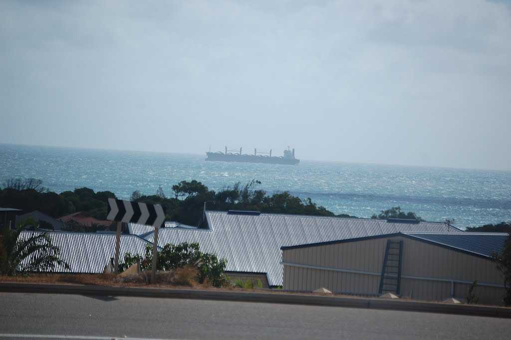
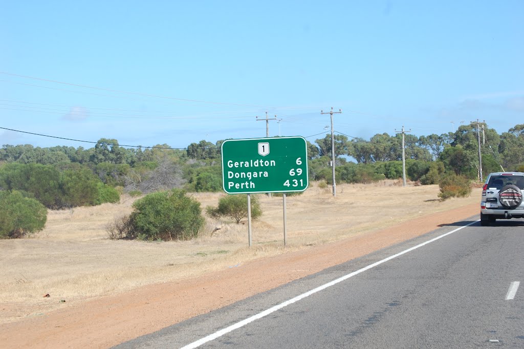
Photos of Drummond Cove


Drummond Cove Weather
Forecast: Clear sky
Temperature: 18.0°
Humidity: 40%
Current time: 02:47 AM
Sunrise: 06:16 AM
Sunset: 06:48 PM


