
Distance between  Goomalling and
  Wallabadah
1,996.85 mi Straight Distance
2,314.71 mi Driving Distance
1 day 19 hours Estimated Driving Time
The straight distance between Goomalling (Western Australia) and Wallabadah (New South Wales) is 1,996.85 mi, but the driving distance is 2,314.71 mi.
It takes 1 day 19 hours to go from Goomalling to Wallabadah.
Driving directions from Goomalling to Wallabadah
Distance in kilometers
Straight distance: 3,212.93 km. Route distance: 3,724.37 km
Goomalling, Australia
Latitude: -31.2985 // Longitude: 116.827
Photos of Goomalling


Goomalling Weather

Forecast: Few clouds
Temperature: 22.9°
Humidity: 35%
Current time: 01:58 AM
Sunrise: 06:09 AM
Sunset: 06:35 PM
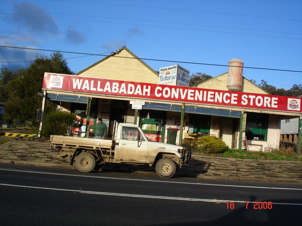
Wallabadah, Australia
Latitude: -31.5385 // Longitude: 150.831
Photos of Wallabadah


Wallabadah Weather

Forecast: Light rain
Temperature: 22.2°
Humidity: 43%
Sun info not available


