
Distance between  Goomalling and
  Iron Baron
1,193.79 mi Straight Distance
1,407.95 mi Driving Distance
1 day 2 hours Estimated Driving Time
The straight distance between Goomalling (Western Australia) and Iron Baron (South Australia) is 1,193.79 mi, but the driving distance is 1,407.95 mi.
It takes 1 day 2 hours to go from Goomalling to Iron Baron.
Driving directions from Goomalling to Iron Baron
Distance in kilometers
Straight distance: 1,920.81 km. Route distance: 2,265.39 km
Goomalling, Australia
Latitude: -31.2985 // Longitude: 116.827
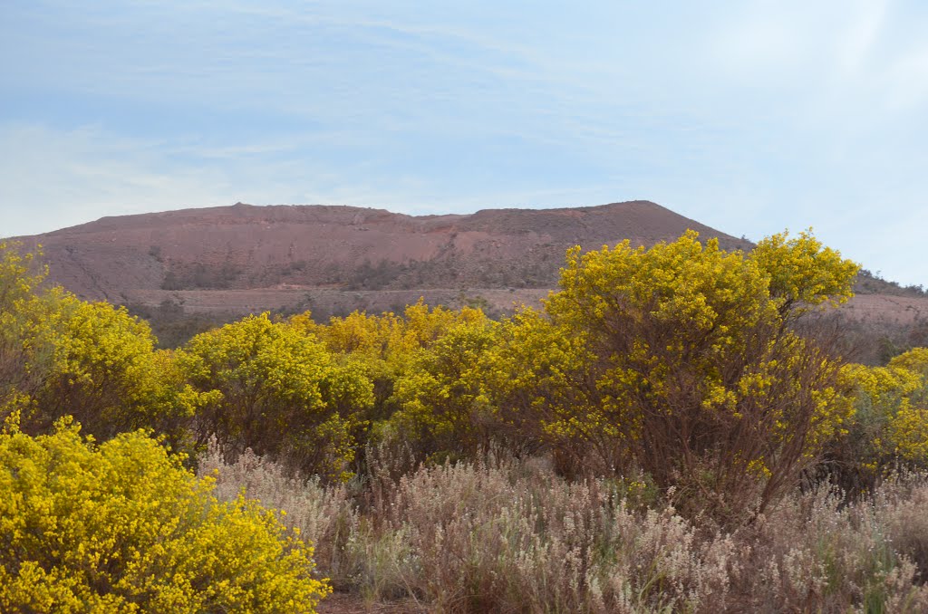
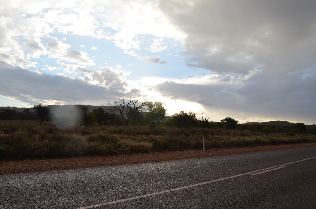
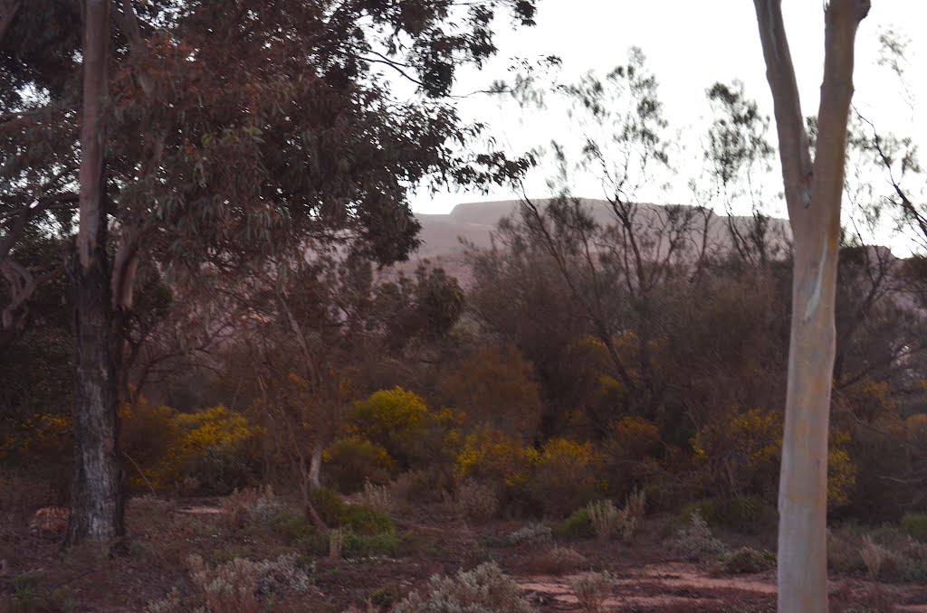
Photos of Goomalling


Goomalling Weather

Forecast: Clear sky
Temperature: 23.3°
Humidity: 36%
Current time: 06:38 PM
Sunrise: 06:07 AM
Sunset: 06:38 PM
Iron Baron, Australia
Latitude: -32.9949 // Longitude: 137.167
Photos of Iron Baron


Iron Baron Weather
Forecast: Clear sky
Temperature: 32.0°
Humidity: 11%
Sun info not available


