
Distance between  Gobarup and
  Tarcutta
190.19 mi Straight Distance
228.49 mi Driving Distance
4 hours 51 mins Estimated Driving Time
The straight distance between Gobarup (Victoria) and Tarcutta (New South Wales) is 190.19 mi, but the driving distance is 228.49 mi.
It takes 4 hours 51 mins to go from Gobarup to Tarcutta.
Driving directions from Gobarup to Tarcutta
Distance in kilometers
Straight distance: 306.01 km. Route distance: 367.64 km
Gobarup, Australia
Latitude: -36.6971 // Longitude: 144.825
Photos of Gobarup


Gobarup Weather

Forecast: Clear sky
Temperature: 15.2°
Humidity: 85%
Sun info not available
Tarcutta, Australia
Latitude: -35.2764 // Longitude: 147.739
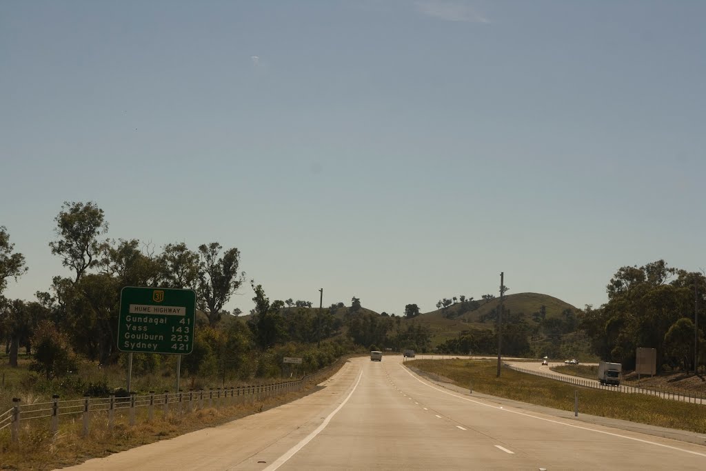
Photos of Tarcutta


Tarcutta Weather
Forecast: Clear sky
Temperature: 18.4°
Humidity: 71%
Sun info not available


