
Distance between  Gobarup and
  Richmond
1,107.90 mi Straight Distance
1,451.97 mi Driving Distance
1 day 4 hours Estimated Driving Time
The straight distance between Gobarup (Victoria) and Richmond (Queensland) is 1,107.90 mi, but the driving distance is 1,451.97 mi.
It takes 1 day 4 hours to go from Gobarup to Richmond.
Driving directions from Gobarup to Richmond
Distance in kilometers
Straight distance: 1,782.61 km. Route distance: 2,336.22 km
Gobarup, Australia
Latitude: -36.6971 // Longitude: 144.825
Photos of Gobarup


Gobarup Weather

Forecast: Clear sky
Temperature: 15.8°
Humidity: 86%
Sun info not available
Richmond, Australia
Latitude: -20.7295 // Longitude: 143.142
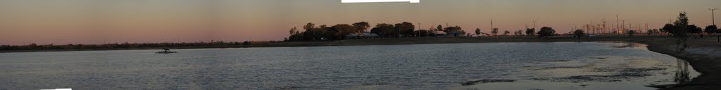
Photos of Richmond


Richmond Weather

Forecast: Few clouds
Temperature: 23.5°
Humidity: 68%
Current time: 11:12 AM
Sunrise: 06:26 AM
Sunset: 06:48 PM


