
Distance between  Gaffneys Creek and
  Nullagine
1,889.38 mi Straight Distance
2,605.71 mi Driving Distance
2 days 5 hours Estimated Driving Time
The straight distance between Gaffneys Creek (Victoria) and Nullagine (Western Australia) is 1,889.38 mi, but the driving distance is 2,605.71 mi.
It takes 2 days 5 hours to go from Gaffneys Creek to Nullagine.
Driving directions from Gaffneys Creek to Nullagine
Distance in kilometers
Straight distance: 3,040.01 km. Route distance: 4,192.59 km
Gaffneys Creek, Australia
Latitude: -37.4722 // Longitude: 146.187
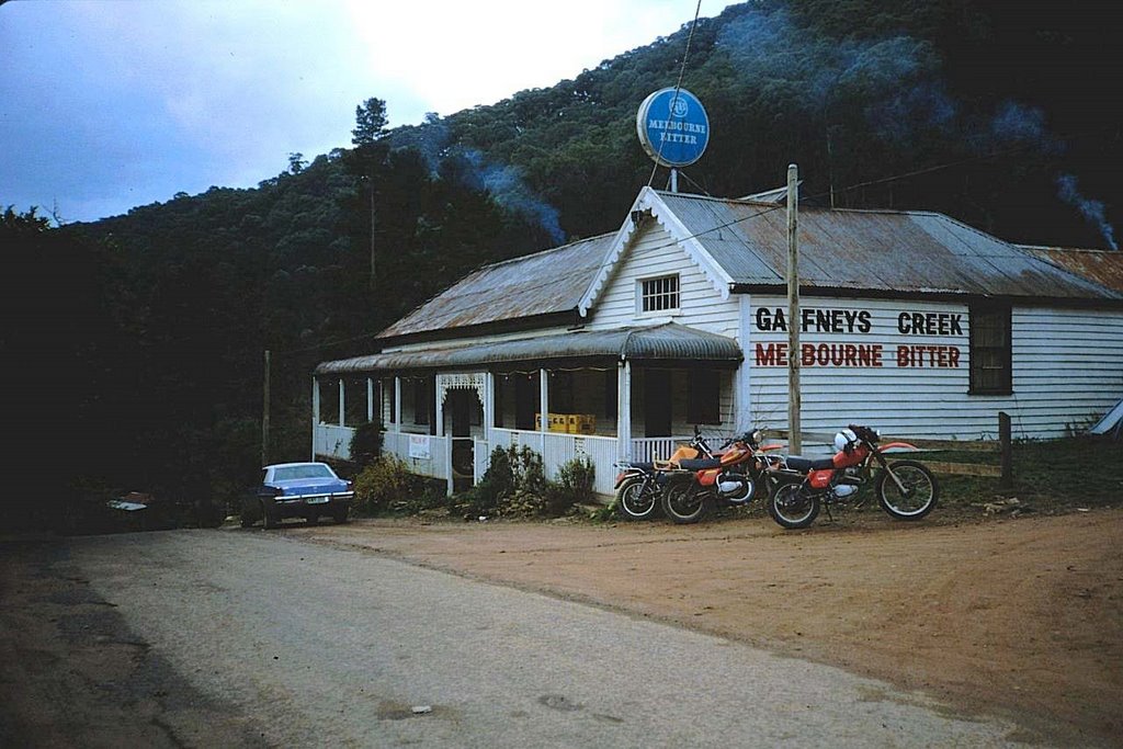
Photos of Gaffneys Creek


Gaffneys Creek Weather

Forecast: Clear sky
Temperature: 18.0°
Humidity: 40%
Sun info not available
Nullagine, Australia
Latitude: -21.886 // Longitude: 120.109
Photos of Nullagine


Nullagine Weather
Forecast: Clear sky
Temperature: 18.0°
Humidity: 40%
Current time: 02:58 PM
Sunrise: 05:57 AM
Sunset: 06:23 PM


