
Distance between  Gaffneys Creek and
  Maindample
33.44 mi Straight Distance
54.30 mi Driving Distance
1 hour 28 mins Estimated Driving Time
The straight distance between Gaffneys Creek (Victoria) and Maindample (Victoria) is 33.44 mi, but the driving distance is 54.30 mi.
It takes to go from Gaffneys Creek to Maindample.
Driving directions from Gaffneys Creek to Maindample
Distance in kilometers
Straight distance: 53.80 km. Route distance: 87.36 km
Gaffneys Creek, Australia
Latitude: -37.4722 // Longitude: 146.187
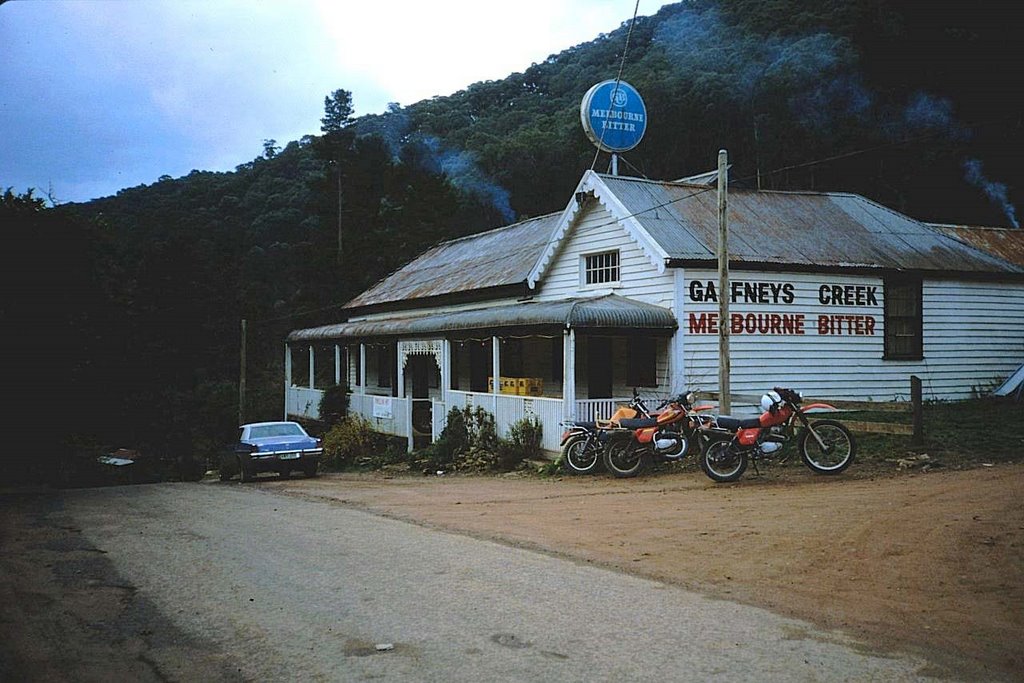
Photos of Gaffneys Creek


Gaffneys Creek Weather

Forecast: Scattered clouds
Temperature: 17.1°
Humidity: 66%
Current time: 12:00 AM
Sunrise: 07:50 PM
Sunset: 09:07 AM
Maindample, Australia
Latitude: -37.0272 // Longitude: 145.948
Photos of Maindample


Maindample Weather

Forecast: Broken clouds
Temperature: 23.4°
Humidity: 43%
Current time: 03:49 AM
Sunrise: 06:52 AM
Sunset: 08:06 PM


