
Distance between  Gaffneys Creek and
  Bindi
Bindi
92.78 mi Straight Distance
245.18 mi Driving Distance
5 hours 59 mins Estimated Driving Time
The straight distance between Gaffneys Creek (Victoria) and Bindi (Victoria) is 92.78 mi, but the driving distance is 245.18 mi.
It takes 5 hours 59 mins to go from Gaffneys Creek to Bindi.
Driving directions from Gaffneys Creek to Bindi
Distance in kilometers
Straight distance: 149.28 km. Route distance: 394.50 km
Gaffneys Creek, Australia
Latitude: -37.4722 // Longitude: 146.187
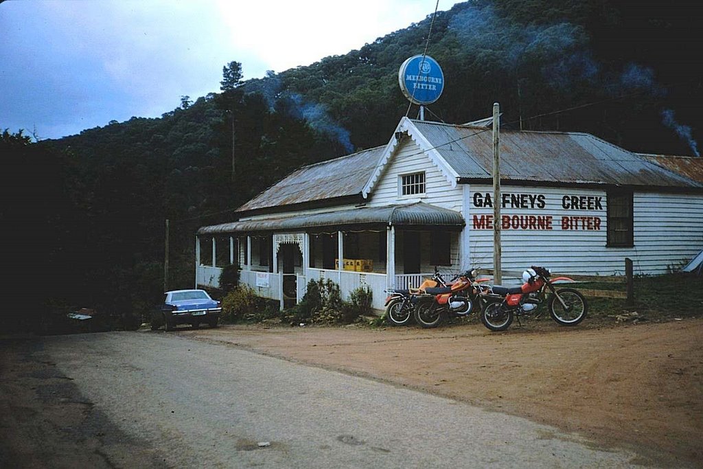
Photos of Gaffneys Creek


Gaffneys Creek Weather

Forecast: Few clouds
Temperature: 10.3°
Humidity: 94%
Sun info not available
Bindi, Australia
Latitude: -37.1119 // Longitude: 147.813
Photos of Bindi


Bindi Weather

Forecast: Scattered clouds
Temperature: 12.3°
Humidity: 96%
Sun info not available


