
Distance between  Furner and
  Stapleton
1,604.58 mi Straight Distance
1,966.38 mi Driving Distance
1 day 11 hours Estimated Driving Time
The straight distance between Furner (South Australia) and Stapleton (Northern Territory) is 1,604.58 mi, but the driving distance is 1,966.38 mi.
It takes 1 day 11 hours to go from Furner to Stapleton.
Driving directions from Furner to Stapleton
Distance in kilometers
Straight distance: 2,581.76 km. Route distance: 3,163.91 km
Furner, Australia
Latitude: -37.389 // Longitude: 140.333
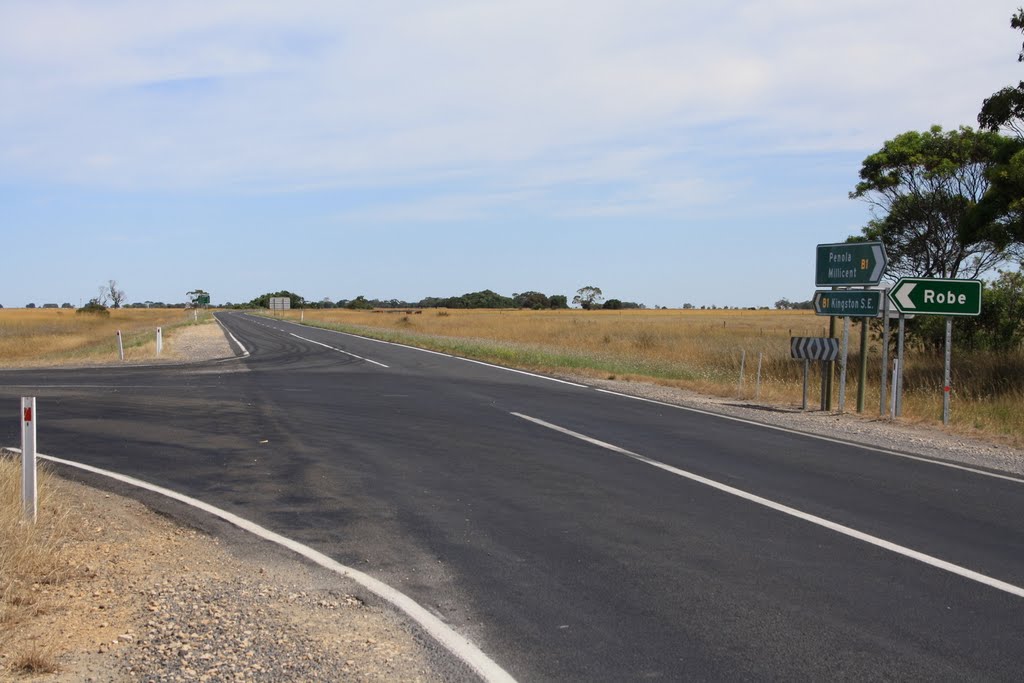
Photos of Furner
")


Furner Weather

Forecast: Clear sky
Temperature: 18.0°
Humidity: 40%
Sun info not available
Stapleton, Australia
Latitude: -14.7578 // Longitude: 134.465
Photos of Stapleton


Stapleton Weather
Forecast: Clear sky
Temperature: 18.0°
Humidity: 40%
Current time: 05:13 PM
Sunrise: 06:33 AM
Sunset: 06:52 PM


