
Distance between  Framlingham and
  Richmond
1,210.24 mi Straight Distance
1,628.46 mi Driving Distance
1 day 8 hours Estimated Driving Time
The straight distance between Framlingham (Victoria) and Richmond (Queensland) is 1,210.24 mi, but the driving distance is 1,628.46 mi.
It takes 1 day 8 hours to go from Framlingham to Richmond.
Driving directions from Framlingham to Richmond
Distance in kilometers
Straight distance: 1,947.27 km. Route distance: 2,620.19 km
Framlingham, Australia
Latitude: -38.2414 // Longitude: 142.705
Photos of Framlingham


 (iphone)")

Framlingham Weather

Forecast: Overcast clouds
Temperature: 14.5°
Humidity: 79%
Sun info not available
Richmond, Australia
Latitude: -20.7295 // Longitude: 143.142
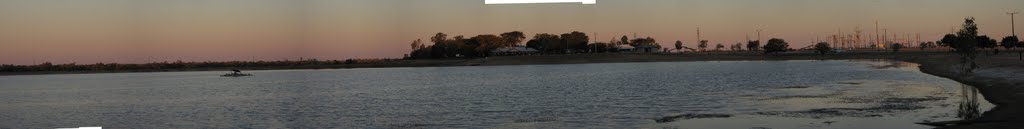
Photos of Richmond


Richmond Weather
Forecast: Overcast clouds
Temperature: 31.1°
Humidity: 52%
Current time: 02:02 AM
Sunrise: 06:27 AM
Sunset: 06:47 PM


