
Distance between  Framlingham and
  Hatherleigh
142.40 mi Straight Distance
164.49 mi Driving Distance
3 hours 29 mins Estimated Driving Time
The straight distance between Framlingham (Victoria) and Hatherleigh (South Australia) is 142.40 mi, but the driving distance is 164.49 mi.
It takes 3 hours 29 mins to go from Framlingham to Hatherleigh.
Driving directions from Framlingham to Hatherleigh
Distance in kilometers
Straight distance: 229.12 km. Route distance: 264.66 km
Framlingham, Australia
Latitude: -38.2414 // Longitude: 142.705
Photos of Framlingham


 (iphone)")

Framlingham Weather

Forecast: Few clouds
Temperature: 30.7°
Humidity: 24%
Sun info not available
Hatherleigh, Australia
Latitude: -37.4898 // Longitude: 140.274
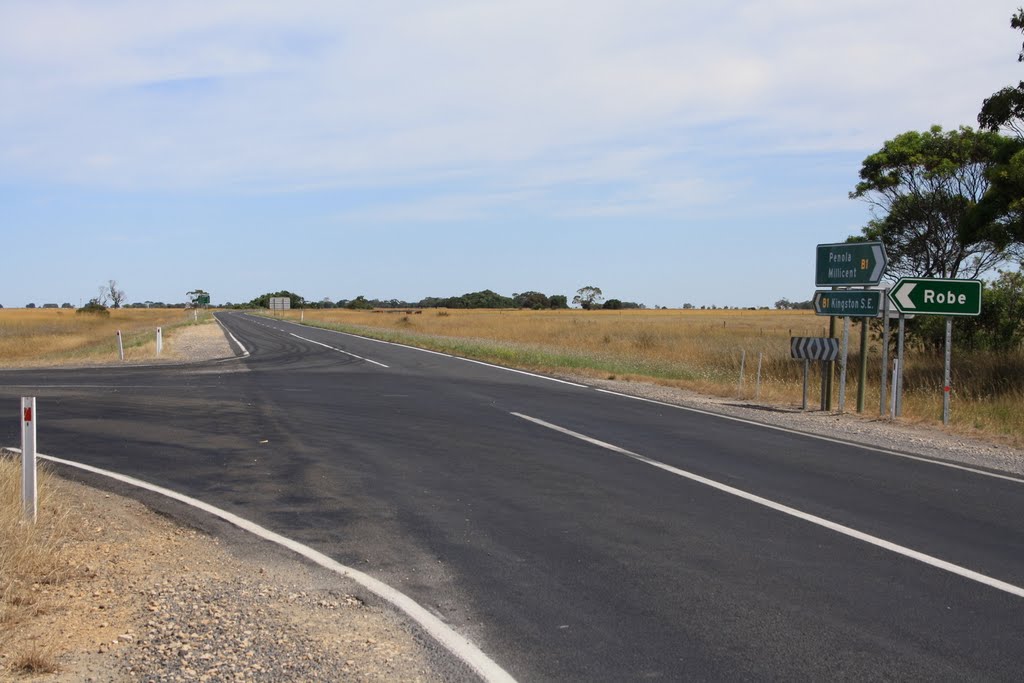
Photos of Hatherleigh


Hatherleigh Weather

Forecast: Scattered clouds
Temperature: 25.6°
Humidity: 37%
Sun info not available


