
Distance between  Forrest and
  Hoddles Cross Roads
1,272.39 mi Straight Distance
1,455.19 mi Driving Distance
1 day 3 hours Estimated Driving Time
The straight distance between Forrest (Western Australia) and Hoddles Cross Roads (New South Wales) is 1,272.39 mi, but the driving distance is 1,455.19 mi.
It takes 1 day 3 hours to go from Forrest to Hoddles Cross Roads.
Driving directions from Forrest to Hoddles Cross Roads
Distance in kilometers
Straight distance: 2,047.28 km. Route distance: 2,341.40 km
Forrest, Australia
Latitude: -30.8541 // Longitude: 128.117
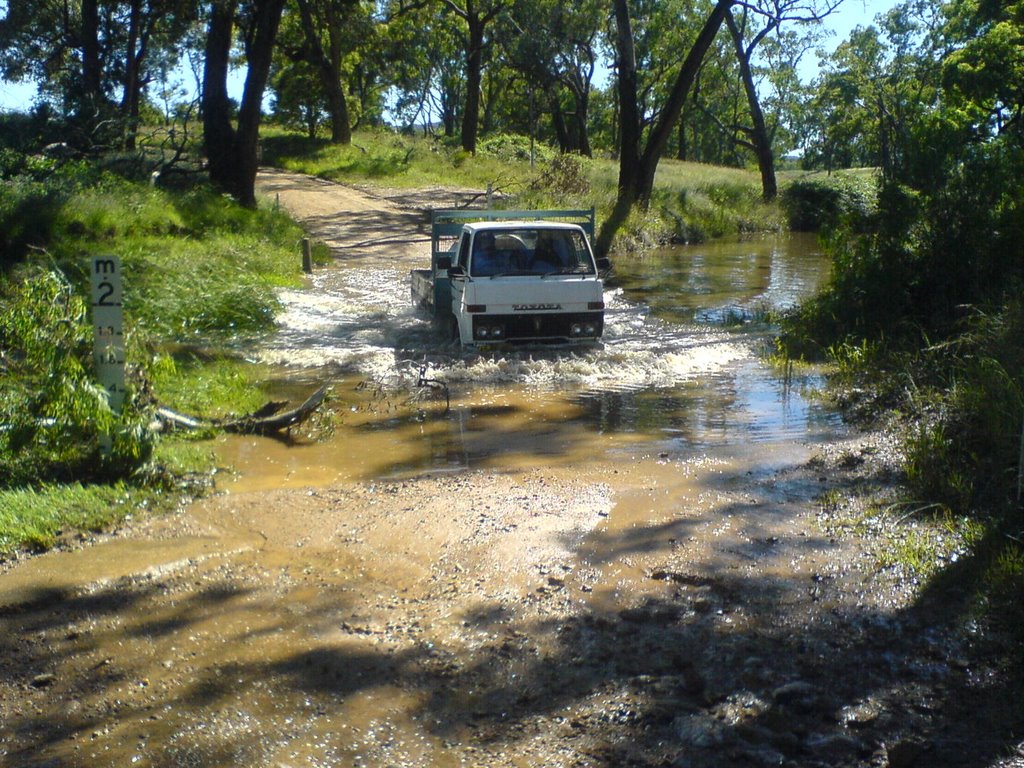
Photos of Forrest


Forrest Weather

Forecast: Broken clouds
Temperature: 16.0°
Humidity: 88%
Current time: 10:41 AM
Sunrise: 05:24 AM
Sunset: 05:49 PM
Hoddles Cross Roads, Australia
Latitude: -32.5055 // Longitude: 149.707
Photos of Hoddles Cross Roads


Hoddles Cross Roads Weather

Forecast: Few clouds
Temperature: 14.3°
Humidity: 84%
Sun info not available


