
Distance between  Fernvale and
  Eagle Heights
46.57 mi Straight Distance
60.81 mi Driving Distance
1 hour 31 mins Estimated Driving Time
The straight distance between Fernvale (Queensland) and Eagle Heights (Queensland) is 46.57 mi, but the driving distance is 60.81 mi.
It takes to go from Fernvale to Eagle Heights.
Driving directions from Fernvale to Eagle Heights
Distance in kilometers
Straight distance: 74.93 km. Route distance: 97.85 km
Fernvale, Australia
Latitude: -27.4559 // Longitude: 152.653
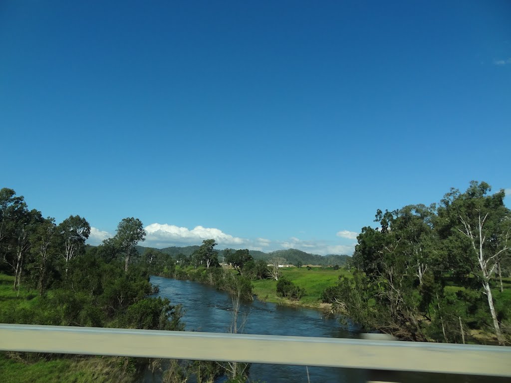
Photos of Fernvale


Fernvale Weather

Forecast: Clear sky
Temperature: 22.5°
Humidity: 83%
Current time: 09:53 PM
Sunrise: 05:35 AM
Sunset: 06:30 PM
Eagle Heights, Australia
Latitude: -27.9237 // Longitude: 153.201
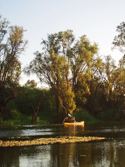
Photos of Eagle Heights


Eagle Heights Weather

Forecast: Scattered clouds
Temperature: 20.9°
Humidity: 79%
Current time: 09:53 PM
Sunrise: 05:32 AM
Sunset: 06:28 PM


