
Distance between  Eudunda and
  Mundrabilla
649.63 mi Straight Distance
801.31 mi Driving Distance
15 hours 9 mins Estimated Driving Time
The straight distance between Eudunda (South Australia) and Mundrabilla (Western Australia) is 649.63 mi, but the driving distance is 801.31 mi.
It takes 15 hours 9 mins to go from Eudunda to Mundrabilla.
Driving directions from Eudunda to Mundrabilla
Distance in kilometers
Straight distance: 1,045.25 km. Route distance: 1,289.31 km
Eudunda, Australia
Latitude: -34.1715 // Longitude: 139.085
Photos of Eudunda


Eudunda Weather

Forecast: Few clouds
Temperature: 11.2°
Humidity: 65%
Current time: 03:19 AM
Sunrise: 07:09 AM
Sunset: 07:36 PM
Mundrabilla, Australia
Latitude: -31.8184 // Longitude: 128.225
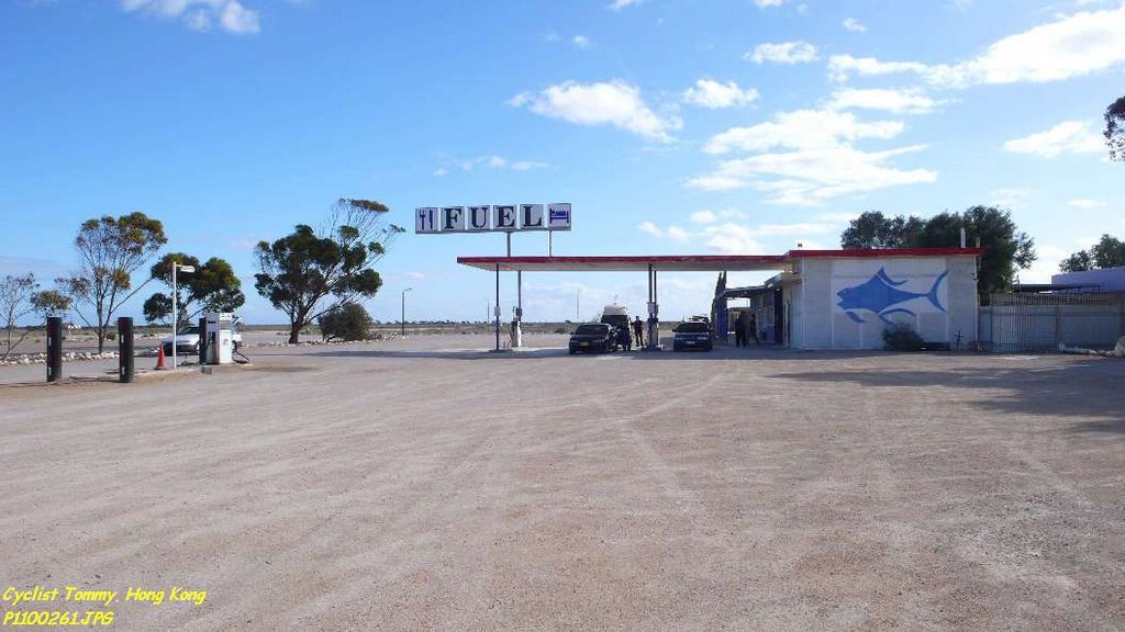
Photos of Mundrabilla


Mundrabilla Weather

Forecast: Overcast clouds
Temperature: 18.5°
Humidity: 70%
Sun info not available


