
Distance between  Eastern View and
  Wallabadah
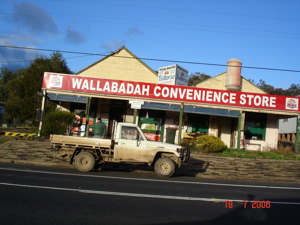
613.31 mi Straight Distance
762.64 mi Driving Distance
15 hours 37 mins Estimated Driving Time
The straight distance between Eastern View (Victoria) and Wallabadah (New South Wales) is 613.31 mi, but the driving distance is 762.64 mi.
It takes to go from Eastern View to Wallabadah.
Driving directions from Eastern View to Wallabadah
Distance in kilometers
Straight distance: 986.82 km. Route distance: 1,227.09 km
Eastern View, Australia
Latitude: -38.4708 // Longitude: 144.051
Photos of Eastern View


 2003")


Eastern View Weather

Predicción: Overcast clouds
Temperatura: 16.6°
Humedad: 63%
Hora actual: 11:26 AM
Amanece: 06:48 AM
Anochece: 08:27 PM
Wallabadah, Australia
Latitude: -31.5385 // Longitude: 150.831
Photos of Wallabadah


Wallabadah Weather
Predicción: Broken clouds
Temperatura: 20.8°
Humedad: 59%
Hora actual: 10:00 AM
Amanece: 06:31 AM
Anochece: 07:49 PM


