
Distance between  Dulacca and
  Brandum
1,063.58 mi Straight Distance
1,351.53 mi Driving Distance
1 day 6 hours Estimated Driving Time
The straight distance between Dulacca (Queensland) and Brandum (Tasmania) is 1,063.58 mi, but the driving distance is 1,351.53 mi.
It takes 1 day 6 hours to go from Dulacca to Brandum.
Driving directions from Dulacca to Brandum
Distance in kilometers
Straight distance: 1,711.29 km. Route distance: 2,174.62 km
Dulacca, Australia
Latitude: -26.6436 // Longitude: 149.761
Photos of Dulacca
")


Dulacca Weather

Forecast: Clear sky
Temperature: 24.9°
Humidity: 52%
Sun info not available
Brandum, Australia
Latitude: -41.8269 // Longitude: 146.674
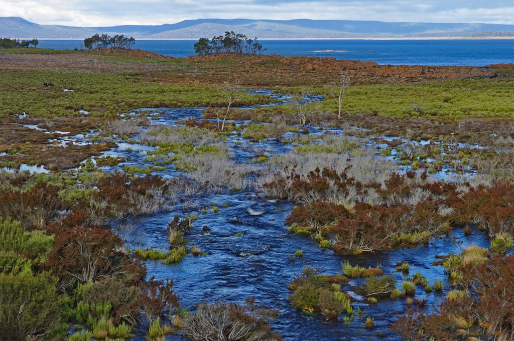
Photos of Brandum


Brandum Weather

Forecast: Light rain
Temperature: 9.4°
Humidity: 85%
Sun info not available


