
Distance between  Drummond Cove and
  Callignee
1,947.45 mi Straight Distance
2,412.41 mi Driving Distance
1 day 22 hours Estimated Driving Time
The straight distance between Drummond Cove (Western Australia) and Callignee (Victoria) is 1,947.45 mi, but the driving distance is 2,412.41 mi.
It takes 1 day 22 hours to go from Drummond Cove to Callignee.
Driving directions from Drummond Cove to Callignee
Distance in kilometers
Straight distance: 3,133.44 km. Route distance: 3,881.57 km
Drummond Cove, Australia
Latitude: -28.6714 // Longitude: 114.613
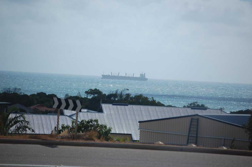
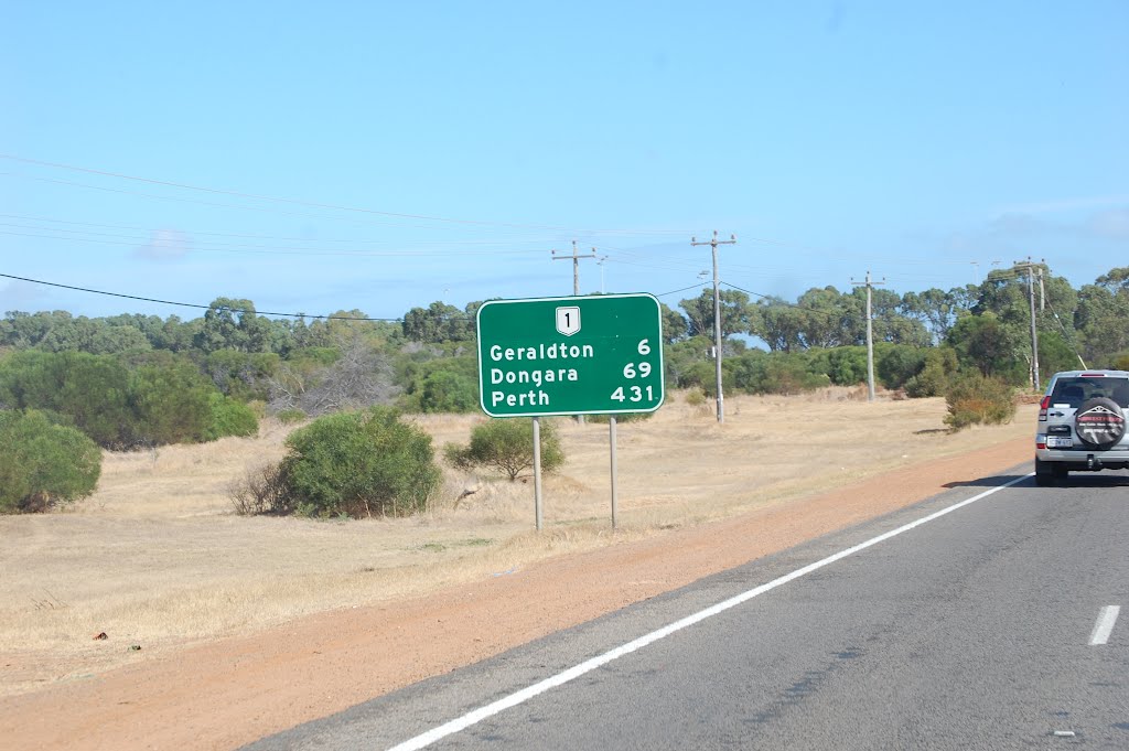
Photos of Drummond Cove


Drummond Cove Weather

Forecast: Clear sky
Temperature: 18.0°
Humidity: 40%
Current time: 03:00 AM
Sunrise: 06:17 AM
Sunset: 06:45 PM
Callignee, Australia
Latitude: -38.3376 // Longitude: 146.583
Photos of Callignee


Callignee Weather
Forecast: Clear sky
Temperature: 18.0°
Humidity: 40%
Current time: 06:00 AM
Sunrise: 07:05 AM
Sunset: 07:42 PM


