
Distance between  Doomadgee and
  Larrimah
405.22 mi Straight Distance
539.45 mi Driving Distance
15 hours 35 mins Estimated Driving Time
The straight distance between Doomadgee (Queensland) and Larrimah (Northern Territory) is 405.22 mi, but the driving distance is 539.45 mi.
It takes 15 hours 35 mins to go from Doomadgee to Larrimah.
Driving directions from Doomadgee to Larrimah
Distance in kilometers
Straight distance: 652.00 km. Route distance: 867.97 km
Doomadgee, Australia
Latitude: -17.9417 // Longitude: 138.828
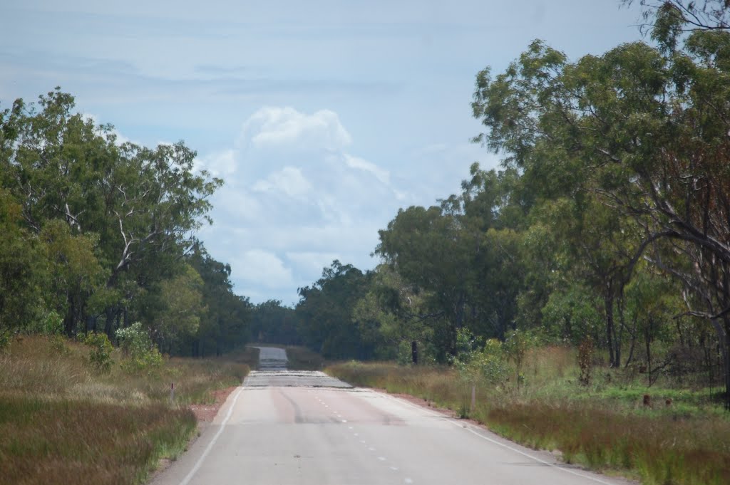
Photos of Doomadgee


Doomadgee Weather

Forecast: Overcast clouds
Temperature: 27.7°
Humidity: 78%
Current time: 10:35 AM
Sunrise: 06:45 AM
Sunset: 07:05 PM
Larrimah, Australia
Latitude: -15.5818 // Longitude: 133.22
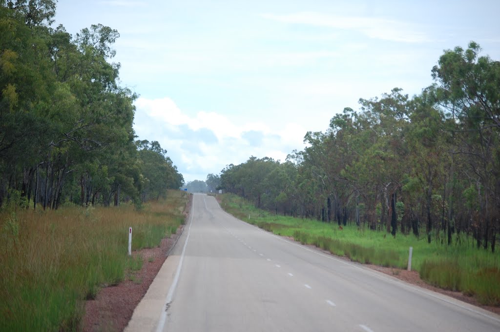
Photos of Larrimah


Larrimah Weather
Forecast: Overcast clouds
Temperature: 25.3°
Humidity: 89%
Sun info not available


