
Distance between  Docker and
  Three Hummock Island
282.40 mi Straight Distance
584.79 mi Driving Distance
15 hours 38 mins Estimated Driving Time
The straight distance between Docker (Victoria) and Three Hummock Island (Tasmania) is 282.40 mi, but the driving distance is 584.79 mi.
It takes 15 hours 38 mins to go from Docker to Three Hummock Island.
Driving directions from Docker to Three Hummock Island
Distance in kilometers
Straight distance: 454.38 km. Route distance: 940.93 km
Docker, Australia
Latitude: -36.5154 // Longitude: 146.379
Photos of Docker


")

")


Docker Weather

Forecast: Clear sky
Temperature: 29.8°
Humidity: 31%
Current time: 10:00 PM
Sunrise: 07:07 AM
Sunset: 07:42 PM
Three Hummock Island, Australia
Latitude: -40.4368 // Longitude: 144.906
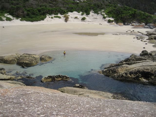
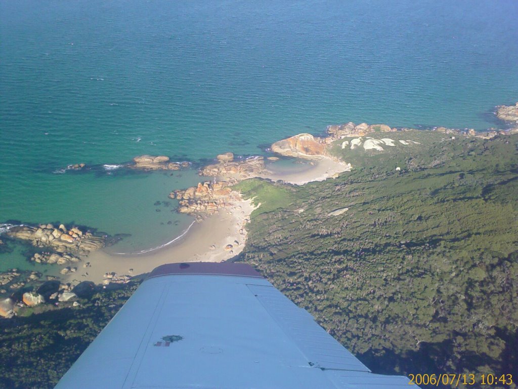
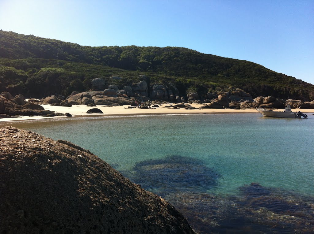
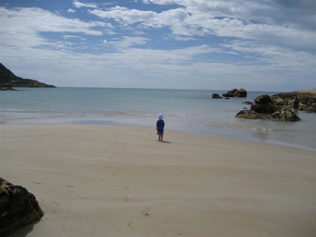
Photos of Three Hummock Island


Three Hummock Island Weather

Forecast: Scattered clouds
Temperature: 17.1°
Humidity: 76%
Sun info not available


