
Distance between  Dampier and
  Book Book
2,125.77 mi Straight Distance
2,853.38 mi Driving Distance
2 days 8 hours Estimated Driving Time
The straight distance between Dampier (Western Australia) and Book Book (New South Wales) is 2,125.77 mi, but the driving distance is 2,853.38 mi.
It takes 2 days 8 hours to go from Dampier to Book Book.
Driving directions from Dampier to Book Book
Distance in kilometers
Straight distance: 3,420.37 km. Route distance: 4,591.09 km
Dampier, Australia
Latitude: -20.6638 // Longitude: 116.708
Photos of Dampier


Dampier Weather

Forecast: Clear sky
Temperature: 18.0°
Humidity: 40%
Current time: 04:42 PM
Sunrise: 06:12 AM
Sunset: 06:35 PM
Book Book, Australia
Latitude: -35.3694 // Longitude: 147.563
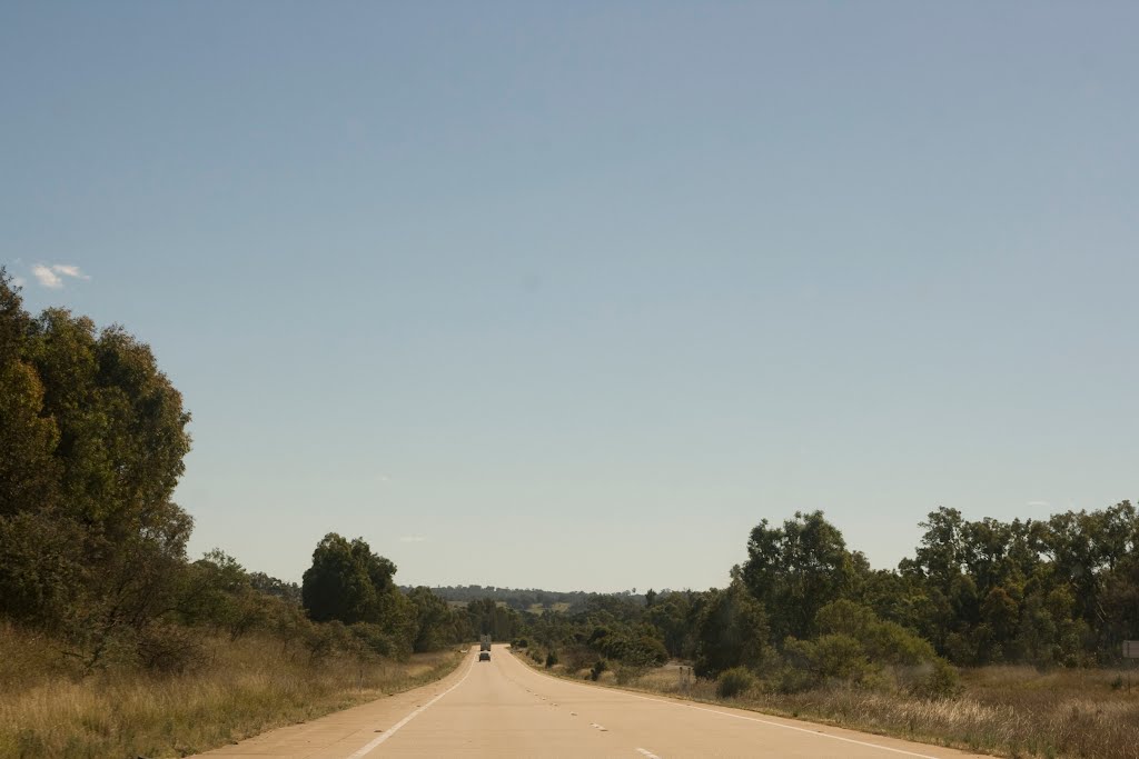
Photos of Book Book


Book Book Weather
Forecast: Clear sky
Temperature: 18.0°
Humidity: 40%
Sun info not available


