
Distance between  Cunnamulla and
  Gravesend
300.45 mi Straight Distance
468.24 mi Driving Distance
9 hours 5 mins Estimated Driving Time
The straight distance between Cunnamulla (Queensland) and Gravesend (New South Wales) is 300.45 mi, but the driving distance is 468.24 mi.
It takes 9 hours 5 mins to go from Cunnamulla to Gravesend.
Driving directions from Cunnamulla to Gravesend
Distance in kilometers
Straight distance: 483.43 km. Route distance: 753.41 km
Cunnamulla, Australia
Latitude: -28.0679 // Longitude: 145.684
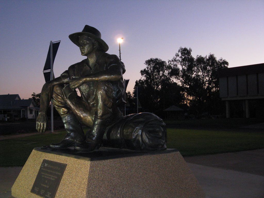
Photos of Cunnamulla


Cunnamulla Weather

Forecast: Clear sky
Temperature: 27.6°
Humidity: 59%
Current time: 10:16 AM
Sunrise: 06:11 AM
Sunset: 06:44 PM
Gravesend, Australia
Latitude: -29.5831 // Longitude: 150.337
Photos of Gravesend


Gravesend Weather
Forecast: Clear sky
Temperature: 21.2°
Humidity: 81%
Sun info not available


